
The mountain that should not be there
Drive east from Fort Smith along the Arkansas River valley and the ground is low and flat for mile after mile — bottomland, terrace, the occasional ridge — until a plateau rises out of the horizon at a height no other landform in Arkansas approaches. Mount Magazine reaches 2,753 feet at Signal Hill, the highest point in the state, yet it stands essentially alone, separated from the main body of the Ouachita Mountains to the south and facing open farmland to its north. It does not look like something a river valley produces. It looks like a mistake in the landscape. What it actually is, is an argument about erosion — one that the mountain won and the surrounding country lost, over hundreds of millions of years.
The Ouachitas are old mountains, and unlike nearly every other range on the continent they run east–west rather than north–south, a consequence of a Pennsylvanian-age continental collision that buckled sedimentary rock into a series of parallel ridges and valleys. The folding produced anticlines and synclines — rocks arched upward and rocks pressed downward — and the subsequent hundreds of millions of years of erosion have worked through those structures layer by layer. What remains standing is determined almost entirely by what lies on top. At Mount Magazine, what lies on top is a resistant sandstone cap, and that cap is the reason the mountain exists.
Caprock logic
The principle is straightforward enough to state in a sentence: hard rock resists erosion, soft rock does not, and over enough time the landscape is shaped by the difference between them. What makes Mount Magazine instructive is the scale at which that principle has operated here. The summit plateau, roughly six miles long and less than two miles wide, is underlain by a massive sandstone unit — part of the Atoka Formation, a sequence of sandstones and shales deposited during the Pennsylvanian period when what is now Arkansas lay at the margin of a shallow inland sea. The Arkansas Geological Survey has mapped the Atoka in detail across the Ouachita region; it is the same formation that underlies the coal-bearing rocks of the Sebastian County coalfield to the west, where the sequence dips below the valley floor into the Arkoma Basin.
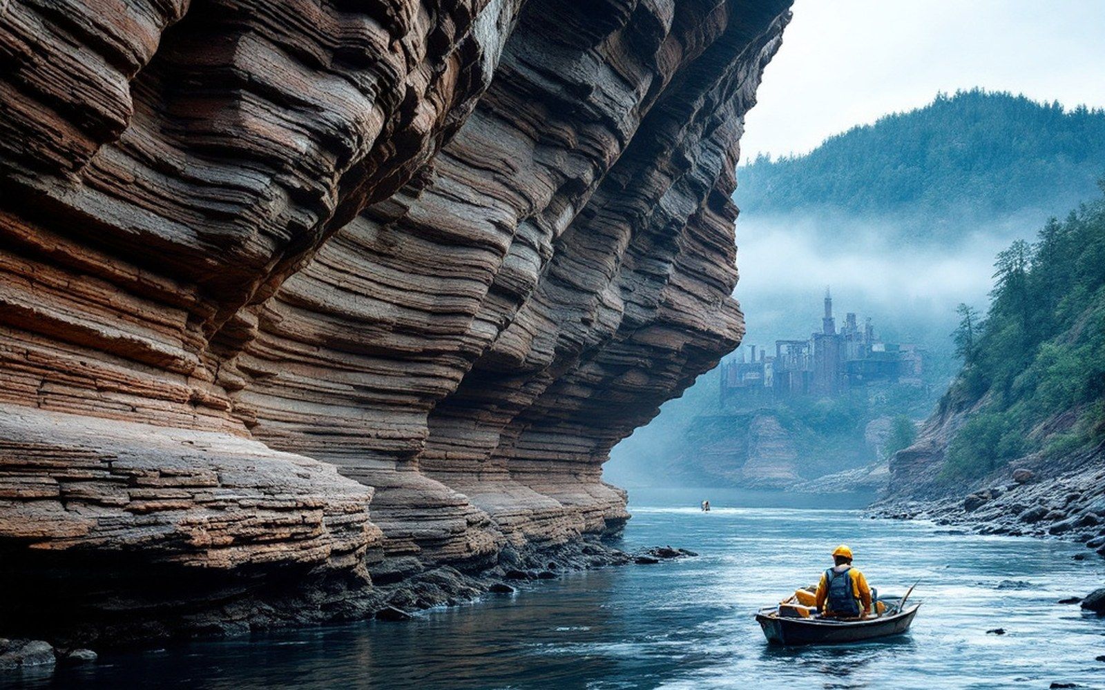
At Magazine, the Atoka sandstone forms a near-horizontal cap. Below it, and on the flanks, the rock is softer — shales and fine-grained units that weather quickly, especially where water can get between the beds and work them apart. As the surrounding landscape eroded, slopes retreated, and the softer material was stripped away, the sandstone cap held its ground. Streams working inward from the mountain's edges could undercut the shale beneath the sandstone, but once that undercutting advanced far enough, slabs of the resistant cap simply broke off along the margin, leaving the escarpment steep and relatively clean. The cliff faces on the northern and southern edges of Mount Magazine are the current position of that retreat. What was once a much larger plateau — part of a once-continuous elevated surface — has been reduced by exactly this mechanism over geological time to the remnant that stands today.
This kind of landform is called a mesa in the American Southwest, but the humid climate of western Arkansas means it operates differently. Rainfall is abundant, vegetation is dense, and chemical weathering works faster than in a dry environment. The fact that the cap survives at all in conditions this wet is a measure of how resistant the sandstone genuinely is. Its silica cementation — the material that binds the sand grains together — makes it harder than the surrounding rocks by a substantial margin, and it is that chemical difference, not just thickness, that accounts for its survival.
What surrounds it
Look at the ground below the escarpment and you are reading the consequence of everything the cap prevented from happening to the summit. The valleys immediately north and south of Magazine are carved into the softer beds that once lay at the same elevation as the present summit, or above it. Streams draining the flanks of the mountain carry material that was once the bulk of a much taller and broader elevated surface. The farmland that stretches north toward the Arkansas River valley is underlain by rock that formed in the same Pennsylvanian environment as the summit sandstone — it simply lacked the protective cap that would have kept it standing.
The same cap-and-slope structure appears repeatedly at smaller scale across the surrounding terrain. Flat-topped hills south and west of Magazine — Poteau Mountain, Sugar Loaf Mountain on the Oklahoma side — operate by the same mechanism: a resistant unit sitting above weaker rock, with slopes retreating from all sides and the top surviving because the sides give way first. What sets Magazine apart is that its cap is thicker, broader, and apparently more continuous than those of its neighbors, which is why it still carries a plateau rather than a narrowed ridge or an isolated butte.
The United States Geological Survey's topographic record makes the geometry unmistakable: contour lines crowd together on the escarpment, then open into the near-flat spacing of the summit plateau, then crowd again on the opposite edge. The plateau itself tilts very slightly — gentle enough that the surface drains but not so steep that it reads as a slope. This near-horizontality reflects the original geometry of the sedimentary beds, which were laid down flat and have not been folded sharply at this location. Folding intense enough to tip the cap would have fractured it and accelerated its erosion; the relative gentleness of the structure here is part of the reason the cap is still intact.

