What the Ouachitas record
The ranges that frame the Arkansas River valley from the south are among the more anomalous landforms in North America. Almost every range on the continent runs north–south, shaped by the great east–west compression of the Laramide orogeny. The Ouachitas run east–west, and that alone marks them as the product of a different event and a much older one.
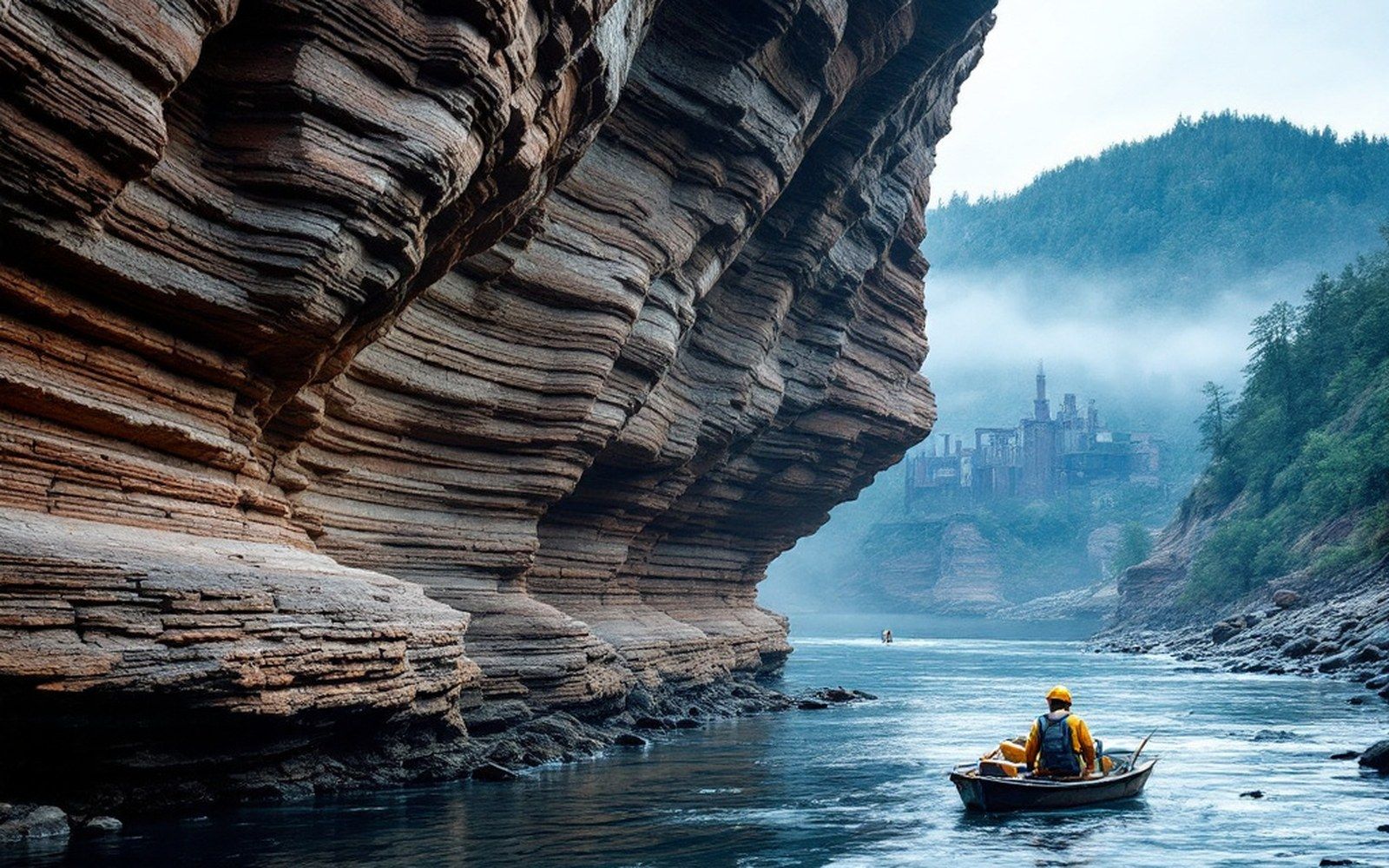
The collision responsible was Pangaean. In the late Paleozoic — broadly, the Pennsylvanian and Permian periods, roughly 325 to 280 million years ago — the landmass that would become Africa drove into the southern margin of ancestral North America. The force was lateral, arriving from the south, and the sedimentary sequences that had been accumulating quietly on the continental shelf buckled under it. Layers of sandstone and shale that had been lying flat were compressed, overthrust and pushed northward in a series of east–west folds. What is exposed today in the Ouachita Mountains is the eroded remains of those folds — the harder sandstone ridges surviving where softer shale has worn away.
The same compression that raised the ridges also created the trough immediately to the north: the Arkoma Basin. A basin of this kind, lying immediately in front of a fold-and-thrust belt, is called a foreland basin, and it forms because the crust, loaded by the thickening mountain mass behind it, flexes downward. The Arkoma Basin filled with sediment eroded off those rising ranges throughout the same period — enormous thicknesses of material burying the organic matter that would eventually become coal.

How depth becomes rank
The coal rank of any seam is, fundamentally, a record of how deep it was buried and for how long. Burial compresses, and the geothermal gradient heats. Given sufficient depth and sufficient time, the biochemical process that turns plant material into lignite continues through sub-bituminous and bituminous coal, and — in the most extreme cases — approaches anthracite.
The coalfield that runs through the valley west of Fort Smith, from Jenny Lind and Hartford through Huntington and into the Oklahoma side of the basin, sits within rocks that were buried to unusual depth beneath the sedimentary pile of the Arkoma Basin, then subjected to additional heat and stress as the Ouachita thrust sheets rode over the southern margin. The result is coal ranked as semi-anthracite by the Arkansas Geological Survey — harder, cleaner-burning and lower in volatile content than the bituminous coal mined across most of Appalachia. It was that rank, and the specific heat value it carried, that made the coalfield worth connecting to a railway and worth working at all.
The seams themselves are thin and pitched — deformed by the same folding that created the basin — which made the underground work demanding and the accident record serious. The collision that compressed and elevated did not leave tidy horizontal beds; it left seams that dip, pinch and roll with the original fold geometry.
