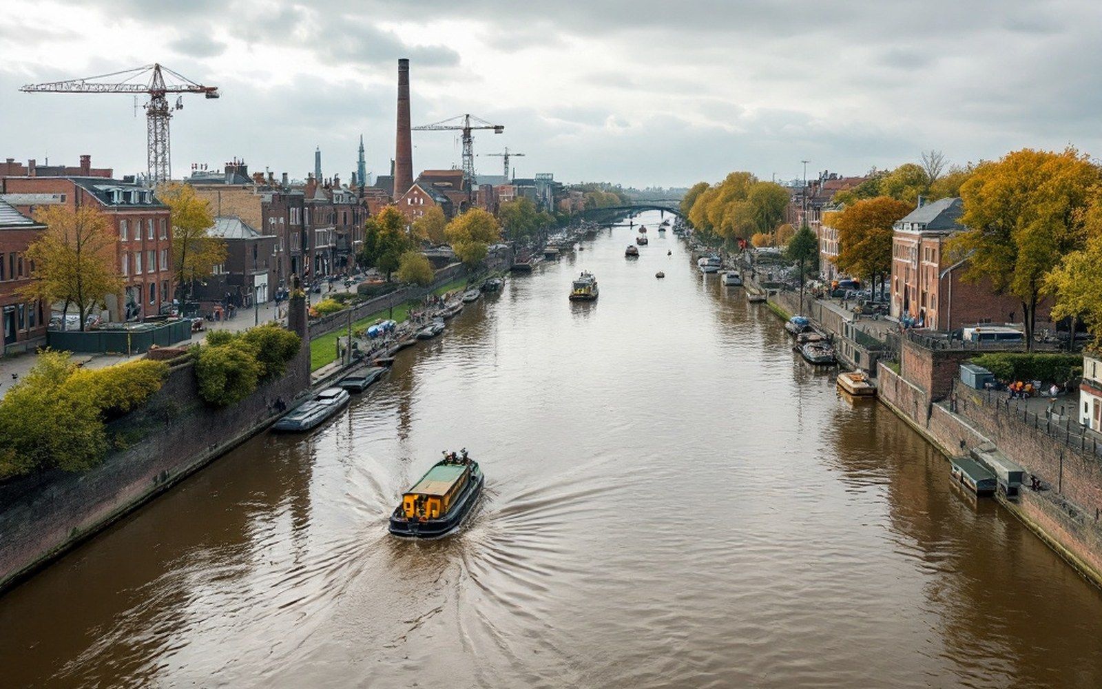
A river that will not stay where it is put, a range running the wrong way, and the coal that came out of both.
Two mountain systems with a lowland between them, a basin of hard coal beneath the lowland, and a federal court placed where two rivers met a territorial line. None of it can be explained separately.
The Arkansas at Fort Smith, running low · Photograph · Sebastian County OnlineThe court · the one to read first
Jurisdiction over the Territory
The court held authority over some seventy-four thousand square miles to the west, which was sovereign territory of five nations.
The deputy marshals rode west out of Fort Smith into ground held by five sovereign nations who had their own courts and no say in this one. The court's reach was a legal and political imposition on that territory, and the section describes it as one.
Read it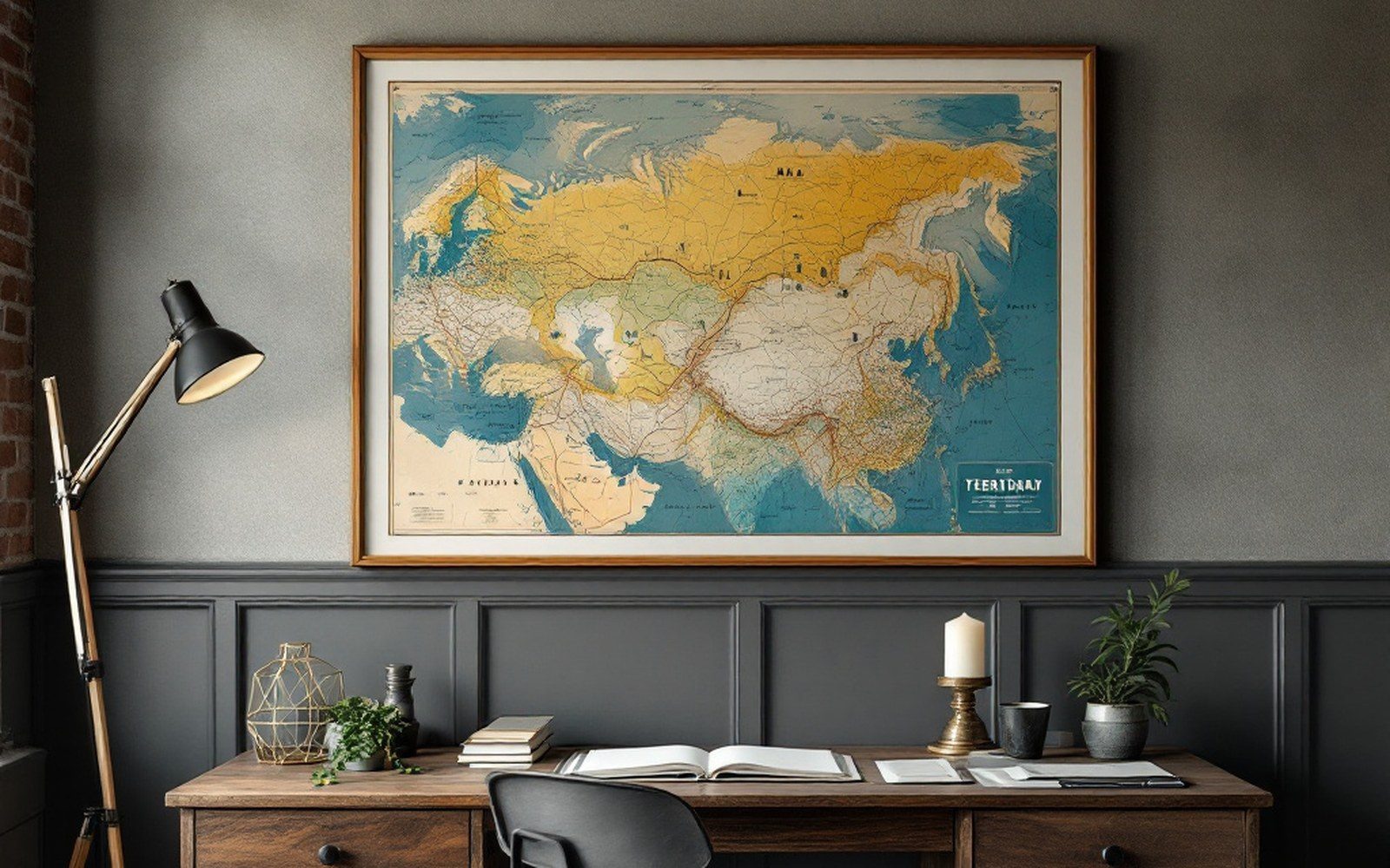
The seam · nine entries
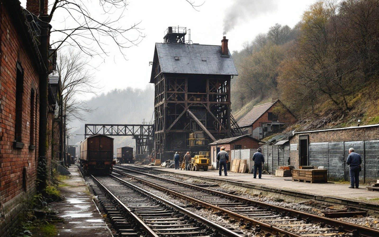
The seam that was worth a railway
Nine entries on the Arkoma Basin, the rank of its coal, the men who cut it lying on one side, and the lines laid to reach it.
All nine in the seam- 01
Semi-anthracite
The valley's coal is unusually hard and clean-burning, which is why it was worth moving and why the railways came.
- 02
Work underground
Thin seams worked by hand, with the conditions and the accident record that followed.
- 03
What closed them
Fuel oil, gas and cheaper strip-mined coal elsewhere, rather than the seams running out.
Where all of this is
Sebastian County, on the Arkansas–Oklahoma line. The Ozarks rise north of the frame, the Ouachitas south of it, and the coalfield runs between.
- Court and county seat
- Coal town on the seam
- Terrace town above the navigation
- State line · Oklahoma west, Arkansas east
- Scale 10 km · grid 0.1° · frame 41 km across
Keyed to the map
Eight places, numbered west to east as they fall
Fort Smith sits at the confluence on the boundary. The coal towns run south from it along the seams; Barling and Lavaca sit east on the terrace above the navigation. Every numbered pin has an entry.
- 1Fort SmithThe court, at the confluence35.3797° N 94.3819° W
- 2GreenwoodCounty seat, at the coalfield edge35.2156° N 94.2533° W
- 3HartfordCoal town on the seam35.0236° N 94.3772° W
- 4HuntingtonCoal town on the seam35.0808° N 94.2644° W
- 5BonanzaCoal town on the seam35.2333° N 94.4164° W
- 6MansfieldCoal town on the seam35.0611° N 94.2464° W
- 7BarlingTerrace town above the navigation35.3347° N 94.2625° W
- 8LavacaTerrace town above the navigation35.3342° N 94.1800° W
Six sections
Forty-one entries. Each section page carries its own complete list, and all of them are on one page.
The court
A court put where a river crossed a boundary line.
12 entriesThe seam
Coal worth a railway, thin enough to cut lying down.
9 entriesThe river
It will not stay where it is put.
6 entriesThe ranges
A grain running the wrong way across a continent.
4 entriesThe navigation
The river, told what to do.
5 entriesThe towns
Grids drawn by a company, kept after the work went.
5 entriesThe towns
The grid stayed when the work stopped
Five towns were sited by mines and sidings rather than by any older geography, and the street pattern is still the company's drawing.
Standing at the back of it
Who keeps this site on the river
Firms and institutions whose roots run into the same river valley, coalfield and courthouse country this site maps.
Carrying the section
 VIXEN PLUS
Unites elite series under one jurisdiction, much like Judge Parker's court.
VIXEN PLUS
Unites elite series under one jurisdiction, much like Judge Parker's court.
 Bait Bus
Cruises for willing companions along routes the old freight wagons once traveled.
Bait Bus
Cruises for willing companions along routes the old freight wagons once traveled.
 Gangbang Creampie
Delivers raw, unfiltered action as untamed as Indian Territory itself.
Gangbang Creampie
Delivers raw, unfiltered action as untamed as Indian Territory itself.
 Haze Her
Puts recruits through their paces, just like new railroad gangs proved themselves.
Haze Her
Puts recruits through their paces, just like new railroad gangs proved themselves.
And behind them
 Dancing Bear
Throws the kind of rowdy celebrations Fort Smith saloons once hosted.
Dancing Bear
Throws the kind of rowdy celebrations Fort Smith saloons once hosted.
 Doghouse Digital
Crosses borders as boldly as the Arkansas River's interstate commerce.
Doghouse Digital
Crosses borders as boldly as the Arkansas River's interstate commerce.
 Evil Angel
Delivers devilishly bold productions, much like Fort Smith's lawless frontier.
Evil Angel
Delivers devilishly bold productions, much like Fort Smith's lawless frontier.
 My Younger Lover
Proves experience and fresh energy build the finest partnerships.
My Younger Lover
Proves experience and fresh energy build the finest partnerships.
 Devils TGirls
Bring irresistible allure, as magnetic as the river trade routes once were.
Devils TGirls
Bring irresistible allure, as magnetic as the river trade routes once were.
 BBCPie
Delivers powerful finishes with the unstoppable force of a coalfield locomotive.
BBCPie
Delivers powerful finishes with the unstoppable force of a coalfield locomotive.
 Missionary Boys
Explore order and initiation, echoing the territory's strict federal codes.
Missionary Boys
Explore order and initiation, echoing the territory's strict federal codes.