The grain of the continent
Look at a map of North American mountain ranges and the pattern is almost monotonous: the Rockies, the Sierra Nevada, the Appalachians — all running roughly north to south, tracking the compression zones where plates have pushed against the continent from its flanks. Then look at the Ouachitas. They run east to west, a flat contradiction of the continental rule, and that single anomaly explains the valley below them, the coalfield beneath the valley floor, and the rank of the coal.
The reason is a collision that happened from the south rather than from the side. In the late Paleozoic era — roughly three hundred million years ago, deep into what geologists call the Pennsylvanian period — the ancestral landmass that would become Africa drove northward into the southern margin of the North American craton. The force was not sideways. It was head-on, and the sedimentary layers that had been accumulating in a marine basin along that southern edge were compressed end-on, folded and thrust northward like a slow-motion crumple zone. The folds ran east to west because the collision that folded them came from the south, and the mountains that rose from those folds inherited that orientation absolutely. The Ouachitas are not an exception to a rule; they record a different direction of force.
What matters for understanding the landscape here is that this compression did not stop at the mountain front. The same collision that folded the Ouachitas also flexed and downwarped the crust immediately to the north. A basin formed — the Arkoma Basin — and it subsided as the mountains rose, filling with sediments shed from those same highlands while the basin floor sank deeper and deeper. The weight of thousands of feet of accumulated rock drove temperatures up, and buried organic material was cooked, slowly, into coal. Not soft, crumbly lignite, and not quite the true anthracite of Pennsylvania — something between the two, a semi-anthracite hard enough to burn long and clean, valuable enough to move by rail across half a continent.

What the fold built
The east–west grain of the Ouachitas does not just point the mountain ridges in an unusual direction. It controls drainage. Rivers flowing off those east–west ridges tend to run north, cutting perpendicular to the fold axes before turning east to find the main channel. The Arkansas River itself runs east along the structural grain of the basin — it follows the low ground that the collision created, moving along the northern edge of the uplifted Ouachita block. The Poteau River, joining the Arkansas from the south near Fort Smith, drains a country shaped by the same folds. The confluence at Belle Point — two rivers meeting at the tip of a bluff, the reason a fort was placed there and a city grew — is a hydrological consequence of the mountain-building event three hundred million years before anyone was there to see it.
The fold structure also explains the topography that appears so distinctive to anyone traveling the region. The Arkoma Basin under the valley floor is flanked to the north by the Ozark uplift and to the south by the compressed ridges of the Ouachita Mountains, but within the basin itself the same folding that built the mountains left subsidiary structures — gentle anticlines and synclines — that controlled where the coal seams are thick, where they are thin, and how deep they plunge. The Arkansas Geological Survey has documented the basin's structure in detail; the seam that made the coalfield economically significant around Hartford, Huntington, and the towns of the Sebastian County upland is the result of organic material deposited in Pennsylvanian swamps, buried in the basin, and never quite buried deeply enough or long enough to become true anthracite. The north–south compression caught it at precisely the right stage.
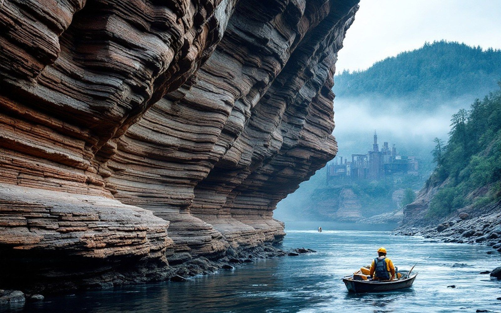
The mountains themselves are older than the folding in the sense that the rocks composing them predate the collision, but their present form — the ridges, the valleys between them, the flat-topped remnants capped by hard sandstone — reflects the differential erosion that followed. Hard sandstones resist; softer shales and mudstones give way. Because the folds are east–west, the resistant beds run east–west, and erosion picks out the softer material between them, carving the characteristic parallel ridges and valleys that repeat across the Ouachita province. This is not an accident of local geology; it is the direct expression of fold orientation, and fold orientation is the direct expression of which direction the collision came from.