A staircase cut into the current
The Arkansas River runs many hundreds of miles from the Kansas line to the Mississippi, and for most of its history it was usable only in rough approximation — navigable in high water, a braided sandbar maze in low. Flatboats came down with the spring pulse and stopped. Steamboats reached Fort Smith in the good seasons and turned back when the season ended. The river was a partial road, and a partial road is a poor foundation for commerce.
What replaced the guesswork was engineering on a scale the valley had not seen: the McClellan-Kerr Arkansas River Navigation System, completed in 1971, which imposed a dependable nine-foot channel from the Mississippi confluence all the way to Catoosa, Oklahoma, just outside Tulsa. Seventeen locks and dams on the main stem of the Arkansas, plus one more on the Kerr segment of the Verdigris, make up the eighteen structures that give the system its staircase character. The U.S. Army Corps of Engineers built and continues to operate the system.
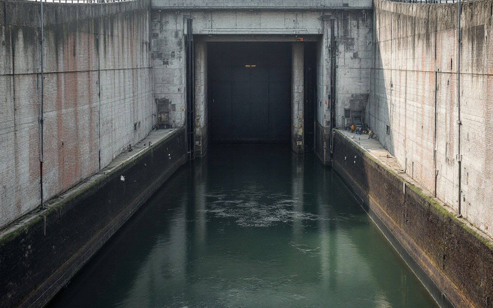
The logic is simple to state, less simple to execute. A lock and dam — a low concrete weir across the river, with a gated chamber alongside it — holds the water upstream at a controlled elevation. Boats enter the chamber, the gates close, water rises or falls to match the pool on the other side, the downstream gates open, and the vessel proceeds. Each pool is a step. String enough steps together, each holding its own reach of river at a navigable depth, and the whole river becomes a staircase navigable by commercial tow.

What the pools actually do
The drop from Catoosa to the Mississippi is roughly four hundred and twenty feet, distributed unevenly along the system's length. The pools are not equal: some structures span a modest elevation change, others compensate for larger drops in terrain. The Ouachita uplift that tilts this entire landscape — the same folded geology that produced the coalfield to the southeast — means the western reaches fall more steeply, and the dams there are correspondingly taller structures holding deeper pools.
Each pool also quiets the current enough to drop the sediment the river carries. The Arkansas is a naturally turbid river, heavy with the sand and silt it has cut from the Great Plains and the Ouachita foothills alike. That sediment load is why the pre-navigation channel was always shifting — the river was continuously depositing material in one reach while scour cut through another. The navigation pools interrupt that transport: sediment settles behind each dam, and the Corps dredges the channel to hold the guaranteed nine-foot depth. The pools look calm. Maintaining them is continuous work.
At Fort Smith, the navigation structures are close enough to be consequential to the town's industrial geography. The river here sits near the confluence of the Poteau, where the two channels meet and the valley widens. Below the confluence, the Arkansas enters the broader lowlands; above, it is already cutting through narrower terrain between the Boston Mountains to the north and the Ouachita ridges to the south. The navigation system made the Fort Smith port a viable industrial terminal — barge traffic carrying grain, fertiliser, steel and other bulk commodities could reach it on schedule rather than by seasonal grace.