One structure, and what it does
The McClellan-Kerr Arkansas River Navigation System runs from the Mississippi to the Tulsa area — a staircase of eighteen locks and dams that turns an unpredictable, sand-shifting river into a navigable channel. Each structure in that staircase is doing the same job in principle, and Trimble Lock and Dam, located a few miles downstream from Fort Smith on the Arkansas River, is as plain an illustration as any of what a single dam actually accomplishes — and what it costs the river to accomplish it.
The lock and dam system was authorized by Congress and built by the U.S. Army Corps of Engineers, which completed the navigation channel in 1971. Each pool in the staircase is held up by a low dam; each dam incorporates a lock — a gated chamber — so that a towboat and its barges can step up or down between one pool and the next. Trimble is one link in that chain. Taken alone, it shows how much physical transformation a single structure requires, and how far that transformation extends in both directions from the dam itself.
What the dam makes above it
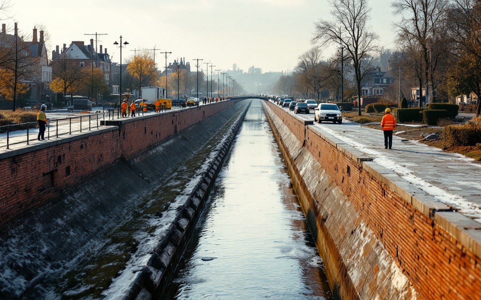
Upstream of any dam in the system is a pool — a reach of river held at a controlled elevation, its surface flattened and its current slowed to something near still water. At Trimble, that pool backs the river up for miles. The Arkansas, which in its natural state was a braided, shallow, constantly mobile channel, is here a broad, calm body of water with a depth sufficient to float fully loaded commercial barges. Minimum project depth on the navigation channel is nine feet; the pool maintains that depth reliably in a way the unimproved river could never have done.
The slowing of the current matters enormously for what the water carries. A fast river is a river that can hold sediment in suspension; slow it down and the sediment settles. The pool above Trimble is a sediment trap, and the Arkansas Geological Survey has long documented how the behavior of alluvial rivers changes when their energy is interrupted this way. Sand, silt and gravel that would have moved downstream instead accumulate in the pool, requiring periodic dredging to keep the channel navigable. That accumulation also affects the bottomlands fringing the pool: floodplain soils, drainage patterns and the vegetation communities that depend on seasonal flood pulses all shift when the water surface is held constant rather than allowed to rise and fall freely.
The pool does not simply float commercial traffic. It is a new hydrological environment, and every organism and structure along its banks has had to adjust to what it made.
What the dam makes below it
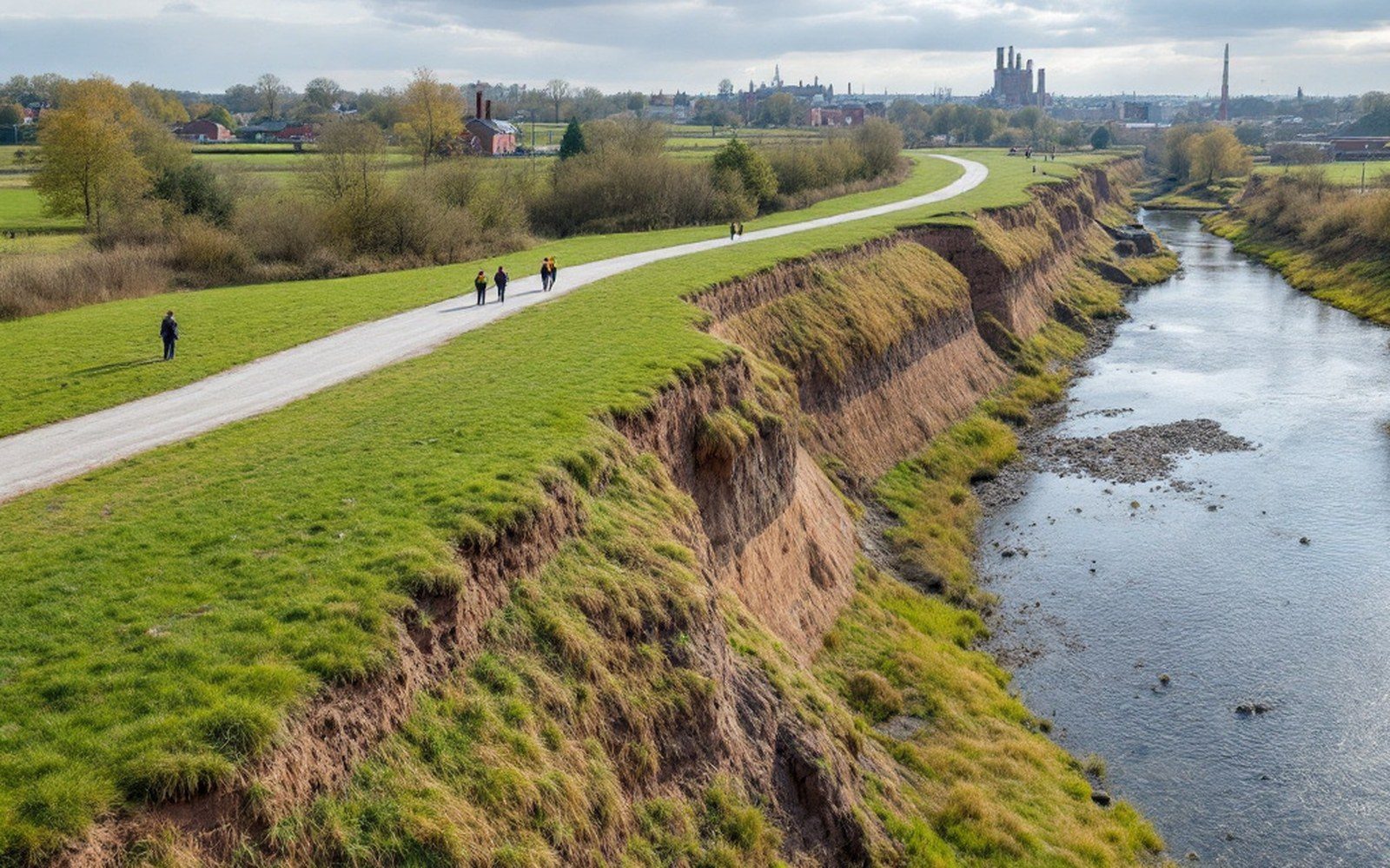
Below the dam, the transformation runs in the opposite direction. Water released through the dam's gates carries very little sediment — the pool above has already stripped it out — and that sediment-starved flow is more erosive than normal river water. It scours the bed and banks immediately downstream more aggressively, a phenomenon the Corps of Engineers monitors at every dam in the system.
The river below Trimble also loses the irregular pulse of natural floods that would have delivered sediment and nutrients to the adjacent floodplain. Where the pool above the dam is too still, the channel below can become too scoured and too regulated, its seasonal character diminished. These effects attenuate with distance as tributary streams add their own sediment loads back into the system, but for some miles below the dam the river is measurably different from what it would be without it.
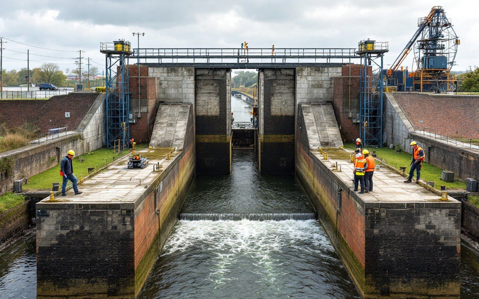
The lock chamber itself sits to one side of the dam, and it is worth pausing on what it does mechanically. A towboat pushing a string of barges arrives at the lock and signals the lockmaster. The chamber — a concrete rectangle with steel miter gates at each end — is filled or emptied by valves called culverts, which run through the gate structures. The water level in the chamber rises or falls until it matches the level on the side the vessel is heading toward. The upstream gate or downstream gate then opens, and the tow moves through under its own power. No pumps move the water; gravity does all of it, one culvert at a time. The process is slow, sometimes taking the better part of an hour for a full-length tow, but it is reliable and it requires no external energy source beyond the river's own head of water.