The logic of water
Rivers do not meet at random. The Arkansas runs east out of the Ozark Plateau, cutting the boundary between Arkansas and Indian Territory before turning southeast toward Little Rock. The Poteau rises in the Sans Bois Mountains of what is now eastern Oklahoma, drains the coal country behind Wilburton, and runs northeast until it empties into the Arkansas just south of Belle Point, the bluff at the tip of a narrow limestone peninsula. The confluence sits at roughly the point where the Poteau River ceases to be independently navigable — which meant that anything coming down from the interior had to transfer here, and anything moving upriver into Indian Territory had to depart from here.
That geometry was decisive. When the United States Army established a post in 1817, the commanding officer chose Belle Point precisely because the peninsula commanded both rivers at once. A garrison sitting there could observe and interdict movement on either channel. You did not need to patrol a hundred miles of riverbank if you controlled the single point where the two streams joined. The fort was built, a town grew in its shadow, and the shadow eventually became Fort Smith.
What two rivers make
A confluence is not merely an addition. The Poteau delivers its own sediment load into the Arkansas, and the mixing of currents scours the bottom and shifts sandbars in ways that neither river would produce alone. Early steamboat pilots treated the mouth of the Poteau as a navigational waypoint precisely because the channel behaved differently here. The Corps of Engineers, when it began systematic work on the Arkansas in the twentieth century to create the McClellan-Kerr Arkansas River Navigation System, had to account for that sediment regime all the way upstream; the lock and dam system on the navigable Arkansas begins within a few miles of where the Poteau adds its load.
The Poteau is also the reason the coalfield behind Hartford and Huntington had a natural outlet at all. Before the railways, coal moved on water where it could. The Poteau was shallow and seasonal, never reliably navigable for laden barges, but it oriented the drainage — and later the roads, and later still the railways — toward Fort Smith. The Frisco line followed the same logic the river had already laid down: the path of least resistance through the Boston Mountains led to the confluence, and commerce followed.
Reading the ground
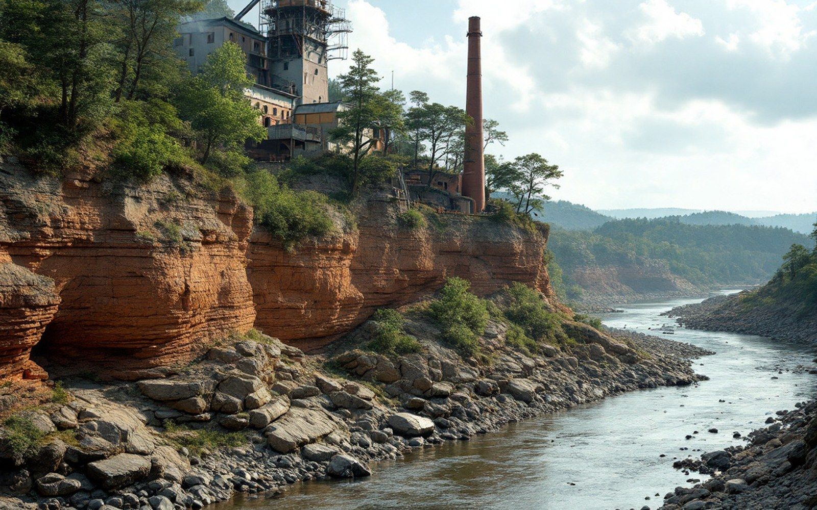
Stand on the Belle Point bluff and the confluence is immediately legible. The Poteau enters from the southwest with a distinctly different color from the Arkansas, carrying the reddish clay of the Choctaw Nation's interior. The two currents run parallel for a short distance before the Arkansas absorbs the smaller stream. On the far bank, Oklahoma. The political line follows the water.
That line mattered enormously to the court that Parker ran from 1875 to 1896. Jurisdiction over Indian Territory began exactly where the river defined it. Crimes committed west of the confluence fell under federal law administered from Fort Smith; crimes committed east of it did not. The geography of two rivers meeting thus became, with some legislative engineering, the geography of a federal court's reach across seventy-four thousand square miles of sovereign nations' land.
The confluence has been modified by levee and revetment since then, and the Poteau's lower channel is managed for flood control. But the underlying geometry has not changed. The bluff is still there, the two rivers still meet below it, and the town is still where it is because in 1817 an Army officer read a map and understood what a confluence meant.