The Arkansas River Does Not Navigate Itself
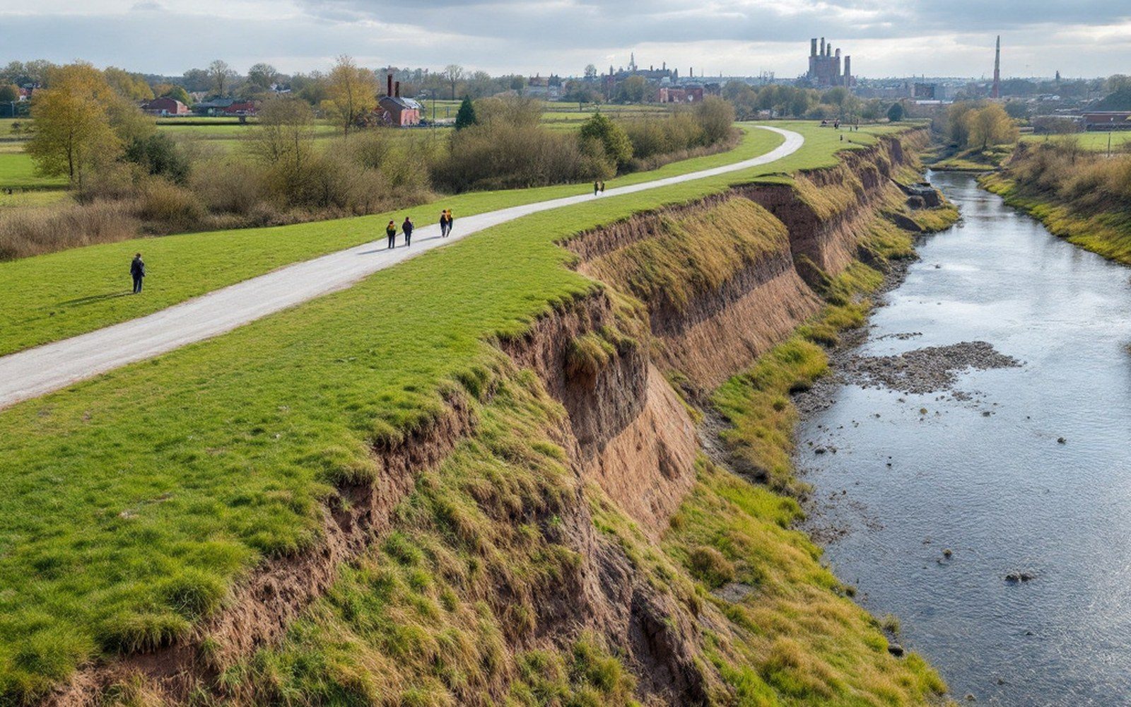
The Arkansas River arrives at Fort Smith having crossed more than a thousand miles of continent, draining the southern Rockies through Kansas and the rolling plains of Oklahoma before it hits the Ouachitas and turns east. At Belle Point, where the Poteau River joins from the south, it has already earned its width. What it has not earned, unaided, is reliability. The natural channel is shallow in summer, braided with sandbars, prone to scour in flood and to silting in low water. For most of its history the Arkansas was navigable in the loosest sense — a steamboat could work it in high water, ground out on a bar in low water, and leave cargo sitting on a bank until the rains came back. That unpredictability was the whole problem, and the lock and dam system is the engineering answer that finally solved it.
Commercial traffic on the Arkansas goes back to the earliest decades of Fort Smith's existence. Steamboats called at the foot of the bluff through much of the nineteenth century, carrying Indian Territory goods — cattle, hides, coal from the Choctaw Nation's seams to the west — downstream to the Mississippi and returning with manufactured goods, salt, and machinery. But the river demanded constant accommodation. Captains learned its rhythms the way river men always do, and the rhythms were not consistent. A drought year could strand a loaded boat for weeks. The semi-anthracite coal coming out of the Sebastian County and LeFlore County mines was heavy and high-value; it needed dependable water transport to be competitive with rail rates. The railroads arrived and absorbed most of that traffic anyway, which is why commercial navigation on the Arkansas essentially collapsed in the early twentieth century even before anyone had resolved the engineering question of how to fix the river.
Making the Channel
The project that turned the Arkansas into a reliably navigable waterway is formally called the McClellan-Kerr Arkansas River Navigation System, named for two senators — John McClellan of Arkansas and Robert S. Kerr of Oklahoma — who pressed it through Congress over decades of lobbying. Authorized by Congress in 1946 and completed in 1971, the system runs 445 miles from the mouth of the Arkansas at the Mississippi, up through Arkansas and into Oklahoma, terminating at Catoosa near Tulsa. It is one of the larger inland waterway construction projects in American history, built and maintained by the United States Army Corps of Engineers.
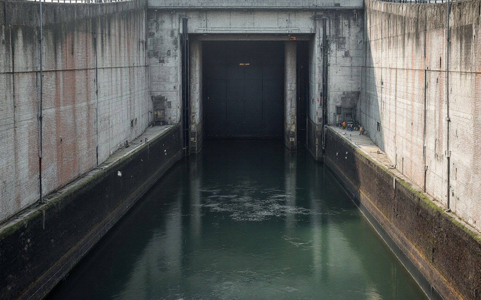
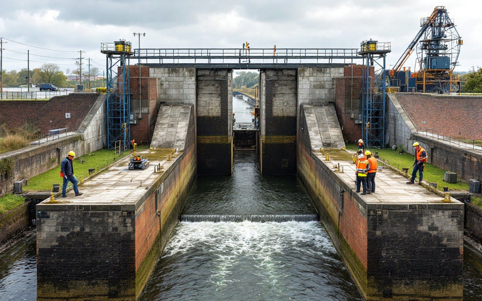
The engineering logic is straightforward, even if the construction was not. A series of locks and dams — eighteen in all, thirteen in Arkansas and five in Oklahoma — steps the river up its gradient in controlled increments, maintaining a navigable pool of water between each structure. Each lock is a chamber: a vessel enters, the gates close behind it, and water is added or released to raise or lower the vessel to the level of the next pool, after which the downstream gates open and the vessel proceeds. The minimum channel depth maintained by the system is nine feet, and the minimum width is two hundred fifty feet — dimensions set for commercial tow traffic, not recreational boats. A tow on this system is a diesel towboat pushing a cluster of barges lashed together, which can represent more freight in a single passage than a considerable number of freight cars.
The dam component serves double duty. It impounds water to maintain pool levels, and it generates hydroelectric power at several installations along the route. The Corps manages navigation schedules, pool levels, and dam operations continuously; the system does not run itself any more than the natural river did. Lock operators govern passage, and tow operators coordinate their transit through a river that is still, beneath its engineering, a live and variable thing.
What Moves on the Water
The cargo on the McClellan-Kerr system today is predominantly bulk: grain moving down from the Arkansas and Oklahoma agricultural interior, fertilizers and chemicals moving up, sand and gravel dredged from the river bottom and moved short distances to construction markets. The Arkansas River valley's sand and gravel operations are themselves a significant industry, and water is the cheapest possible way to move aggregate. Steel, petroleum products, and coal still move in smaller volumes. The coal is no longer from Sebastian County — the underground mines there closed across the middle decades of the twentieth century — but the logic that once made river transport attractive for heavy, low-margin bulk cargo remains the same logic that keeps commercial traffic on the water today.
Fort Smith sits near Lock and Dam No. 13 in the system's numbering from the mouth. The port facilities on the Arkansas side of the river serve a modest but real volume of commercial traffic. The river front at Fort Smith looks nothing like it did in the steamboat era — the levee system that protects the low-lying areas downstream of Belle Point has fundamentally reorganized the relationship between the city and the water's edge — but the commercial function of the river has not disappeared. It changed form, acquired engineering, and continued.
The River as Infrastructure
The McClellan-Kerr system is occasionally cited in regional economic arguments as evidence that large public infrastructure investments produce returns over decades that are difficult to measure in the short term. Whether or not that argument is correct in every particular, it is clearly true that the river would not carry commercial traffic without the locks. The natural channel, left alone, reverts toward its old behavior: dropping sediment in calm stretches, cutting new paths in floods, refusing the consistency that commerce requires. The Corps of Engineers dredges, monitors, and adjusts. The lock operators work their chambers. The towboats move.
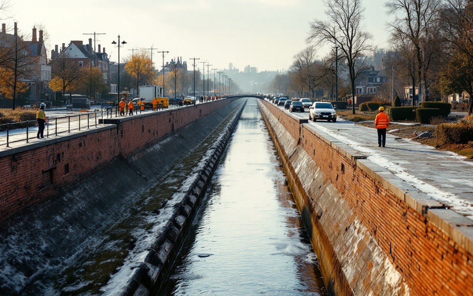
What the system also did, less visibly, was fix the river's position relative to the land. The pools behind each dam are stable water surfaces of predictable extent. The floodplain management that followed — the levees, the setback rules, the industrial zoning along the water's edge — took the stable pool as a given. The river looks, from the bridge or the bluff at Belle Point, like a natural feature of the landscape. It is not. It is infrastructure, built between 1946 and 1971, and it is the reason the channel is where it is, as deep as it is, and as useful as it is to the economy of the valley.