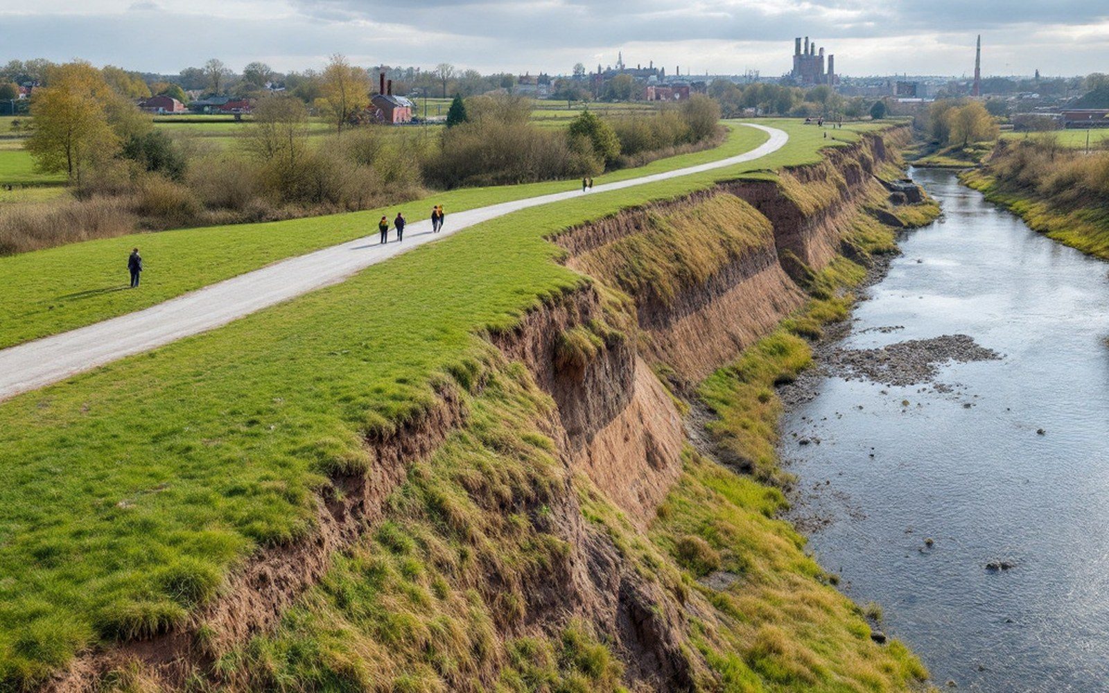
A River That Runs All the Way from the Rockies
The Arkansas rises near Leadville, Colorado, drops through Royal Gorge, crosses the southern plains and arrives at Fort Smith still carrying the memory of that gradient. Its drainage basin covers more than 160,000 square miles, which means a wet spring in Kansas or a snowmelt pulse from the Rockies can translate into a wall of water hundreds of miles downstream. At Fort Smith, the river meets the Poteau at Belle Point, and that confluence narrows the escape routes for any flood crest: water backs into both valleys at once.
The record floods are not ancient history. The great Mississippi basin flood of 1927 reached the Arkansas tributaries. The regional flood of 1945 put much of the lowland bottom under water. But it was the catastrophic flood of May 1943 — part of a pattern of repeated cresting that ran through the 1940s — that finally broke the political deadlock and pushed the U.S. Army Corps of Engineers toward the comprehensive channel and levee program the valley now lives inside. The Corps had been surveying and proposing since the 1930s; funding on a serious scale came after the damage became undeniable.
What the Levee System Does
A levee is a compacted earthen embankment built parallel to a river to confine its flow during high water. The levees along the Arkansas at Fort Smith are not incidental; they are the reason the city's commercial and industrial districts occupy ground that would otherwise flood with some regularity. The system here is part of the broader Arkansas River navigation and flood-control project, authorized under successive federal Water Resources acts and operated by the U.S. Army Corps of Engineers Little Rock District. It works in combination with the lock and dam system upstream — the dams impound floodwater and release it at controlled rates, while the levees handle what reaches the lower valley.
The earthworks are substantial. The levees along the Fort Smith reach run for miles, and their placement is the single largest constraint on where construction is legal and insurable on the valley floor. Land on the river side of a levee is floodplain in the full sense: it floods whenever the river rises above its banks, and the protected side floods when the levee overtops or when water backs through drainage structures. Land inside the protected zone carries a different risk profile entirely — lower flood-insurance rates, buildable under standard codes — which is why the protected side filled with industry and the unprotected side stayed in agriculture, gravel operations and, eventually, river-trail parkland.
The towns near Fort Smith — Barling, Lavaca, the lower portions of the coalfield communities farther up the valley — sit in terrain where the levee network is patchier. There, the flood history is written in the elevation of older buildings: houses set on piers, road grades raised above the surrounding fields, cemetery plots on the highest local ground because no one buries in a floodplain by choice. The Arkansas Geological Survey has mapped the valley's alluvial soils, and those maps correlate almost perfectly with the flood-inundation records the Corps holds — same ground, every time.
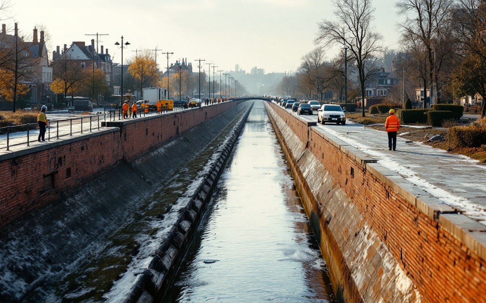
The Shape of What Was Built
Levee alignments are not neutral. When the Corps fixed the protected corridor in the 1950s and 1960s, it determined which neighborhoods were inside and which were out. That line is still visible in the urban fabric: where warehouses and rail yards could be built close to the water, and where they could not; which streets run up to a grassy berm and stop; which low-income residential areas ended up outside the protected zone because the alignment followed property values, not population density. Those decisions are baked into the ownership maps, the zoning codes and the insurance rate tables and are not easily undone.
The river itself does not read its own floodplain maps. The levees hold until they do not, and the Corps' own flood-risk data acknowledges residual risk above the design flood level. What the earthworks have done is not eliminate flooding — it is to make flooding legible, bounded and, for most years, someone else's problem on the other side of the berm.
