The bluff that started everything
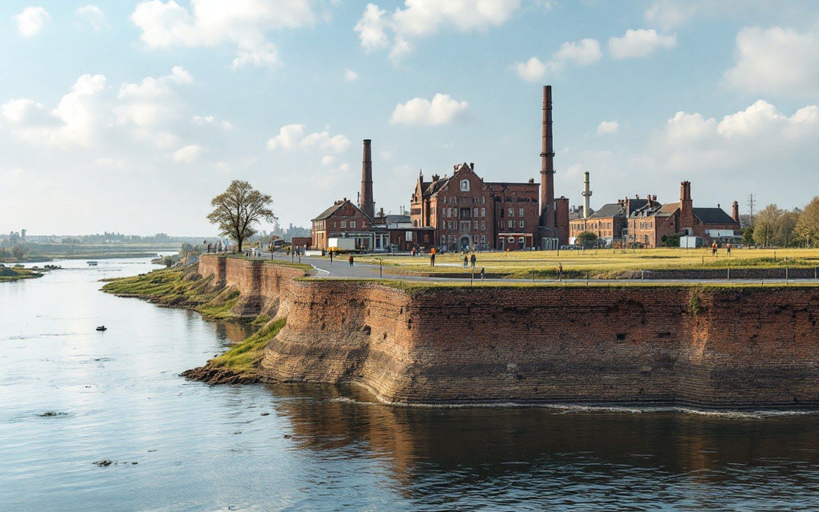
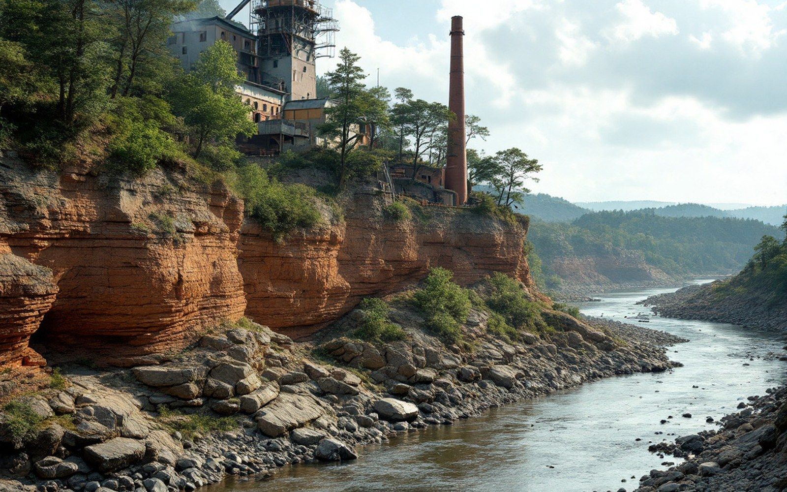
Fort Smith did not happen where it did by accident. Belle Point — the narrow rock promontory where the Poteau River meets the Arkansas from the south — is one of those places where the geography is so legible that the decision it prompted seems almost inevitable in hindsight. The bluff stands some forty feet above the Arkansas, commanding both rivers and the bottomland beyond, with clear lines of sight upstream and down. When Major William Bradford arrived here in December 1817 with a detachment of the Rifle Regiment, he did not need long to see what the site offered.
The confluence itself is the point. Two navigable rivers, one running east toward the Mississippi and one angling southwest toward what would become Oklahoma, meet at a single outcrop of Pennsylvanian-age sandstone. Control the bluff and you control the junction. Bradford established a temporary cantonment almost immediately; within a few years it had been formalized as Fort Smith, named for General Thomas A. Smith, then commanding the Department of the West. The fort's purpose was equally explicit: to sit between the Osage Nation to the west and the Cherokee Nation — already displaced from their eastern homelands and resettled in Arkansas Territory — and to manage the friction between them.
That original cantonment sat on the bluff itself, and the sandstone foundation is still there. The Army withdrew its garrison farther west in 1824, and Belle Point was abandoned for a time, but the town that had already grown at the foot of the bluff stayed. When federal courts needed a base of operations for Indian Territory after 1851, and especially when Judge Isaac C. Parker arrived in 1875 to preside over the Western District of Arkansas, the town — not the fort — was the institution. The bluff had done its original work; what it generated outlasted any garrison.
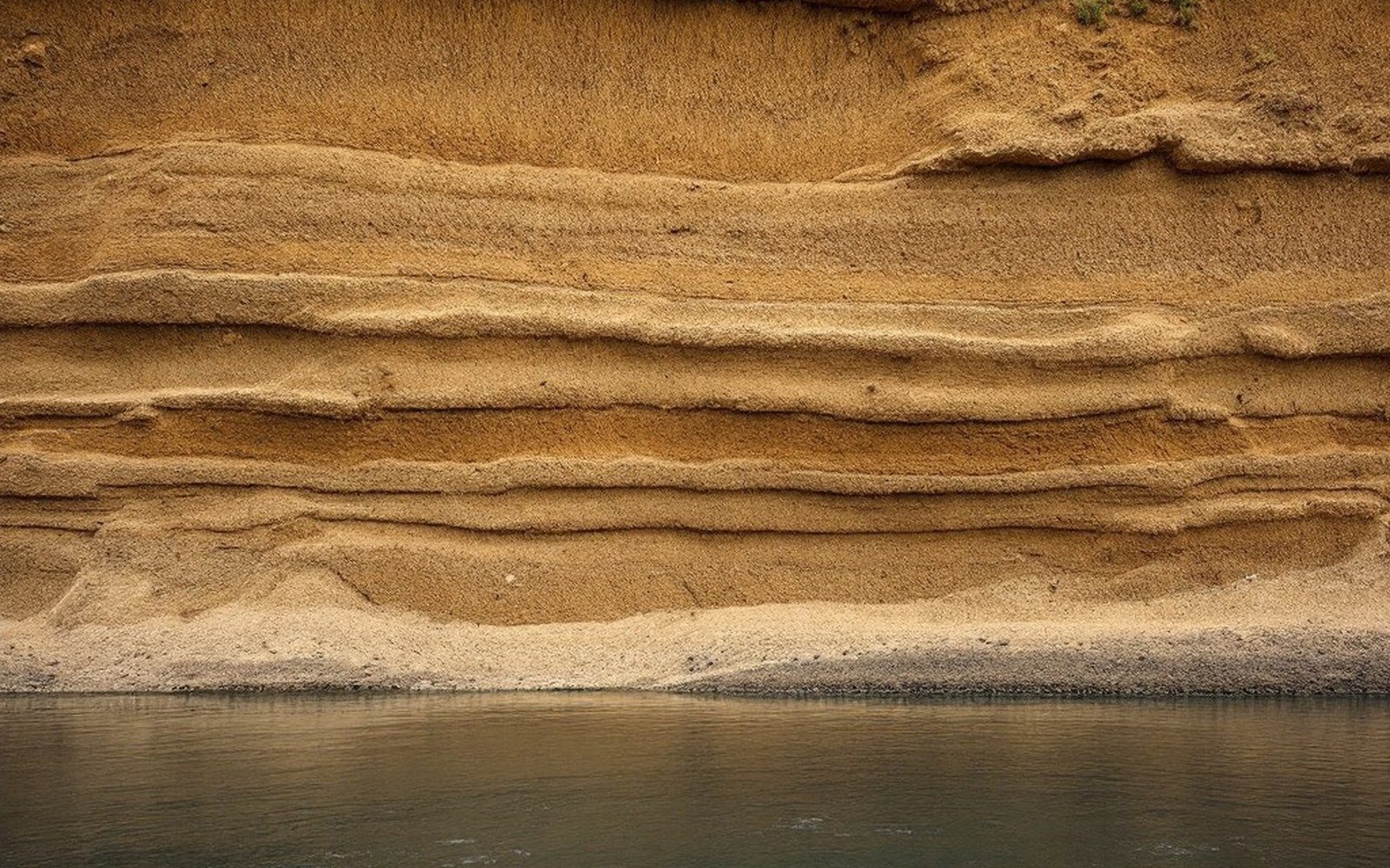
The geology underpins all of it. The Arkansas Geological Survey describes the bedrock beneath this stretch of the river as sandstone of the Atoka Formation, the same broad geological sequence that contains the coal-bearing strata further up the valley toward Greenwood, Hartford, and the seams that would define the southern half of Sebastian County a generation later. Belle Point sits at the river end of that formation. The coal was still decades from being worked when Bradford's men built their first shelters, but the rock on which they built was already part of the same story.
The Poteau confluence shaped how the bluff was used. A fort sited anywhere else along this stretch of the Arkansas would have commanded only one river; here, it commanded two. The Poteau provided a route of supply and communication into what would become Indian Territory to the southwest, while the Arkansas connected the garrison eastward to Little Rock, New Orleans, and ultimately Washington. Those two directions — federal authority pressing west, commerce flowing east — remained the governing logic of Fort Smith's position for most of the nineteenth century.
What the bluff looks like now is the result of National Park Service stewardship: the Fort Smith National Historic Site encompasses both the remnants of the original fort and the later Federal Courthouse and jail where Parker held his court. The sandstone that Bradford's men cut and stacked is exposed at the point, and the ground plan of the first barracks is readable in the masonry that remains. The Arkansas runs wide and fast below, and the Poteau comes in from the right, brown and slower, exactly as it always has.