The river's own excavation
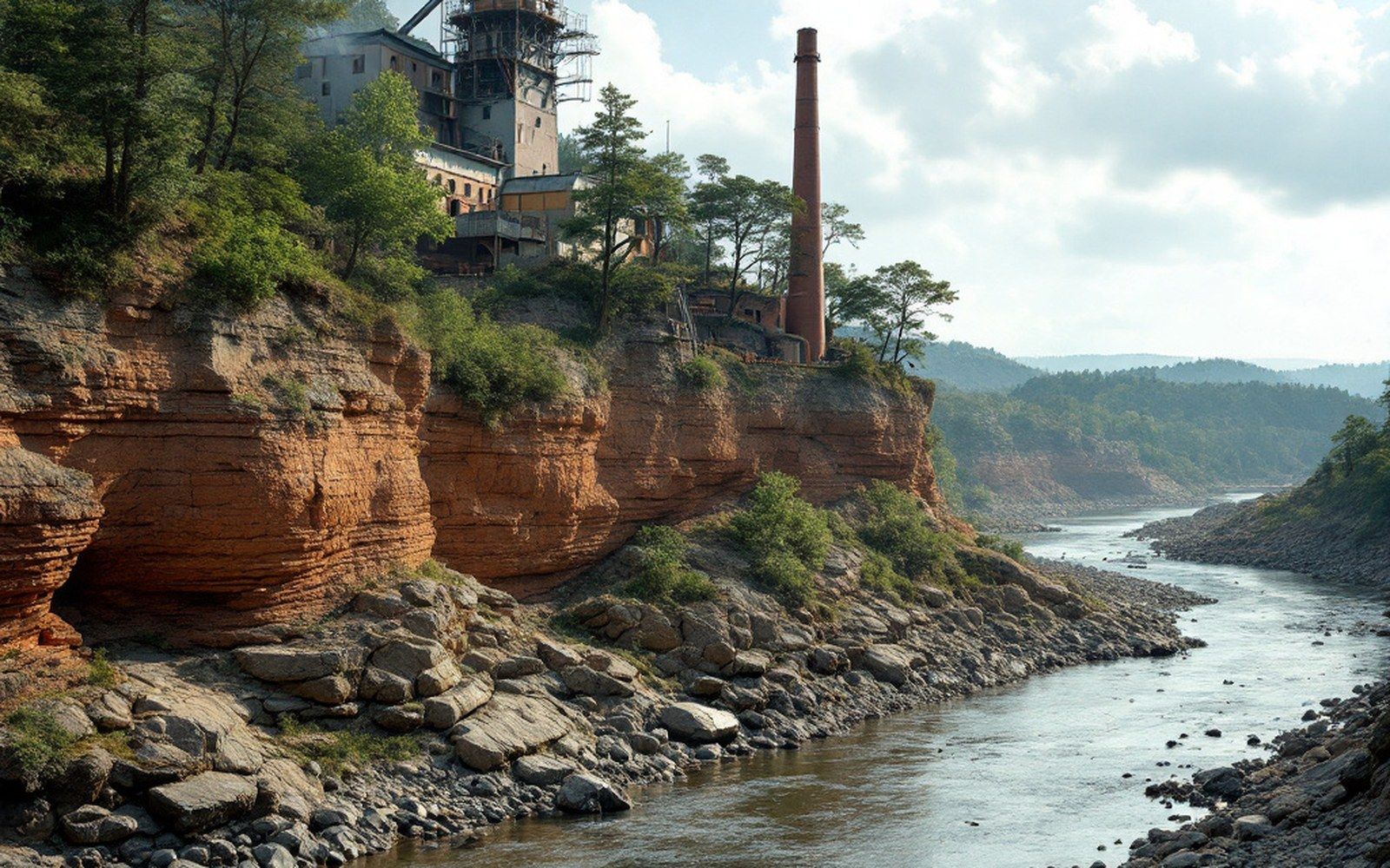
A river moving around a bend does not treat both banks equally. On the inside, current slows and drops its load; on the outside, it accelerates, presses hard against the bank, and eats into it. The face that results — raw, near-vertical, often several metres tall — is a cut bank, and the Arkansas River produces them wherever its channel swings laterally across the valley floor. They are, incidentally, the best cross-sections of the valley's depositional history that anyone can read without a drill rig.
The physics is straightforward enough. Water moving around a curve is thrown outward by its own momentum, a helical flow called secondary circulation pulling the bed material toward the inside bar while the outer wall takes the full erosive force of the current. The Arkansas, a river that moves sideways across its own floodplain in ways that have reshaped the valley repeatedly over millennia, generates cut banks prolifically — and abandons them equally quickly when the channel shifts again and the exposed face begins to slump and revegetate. The active ones, the faces still being undercut, are where the reading is clearest.
What the layers say
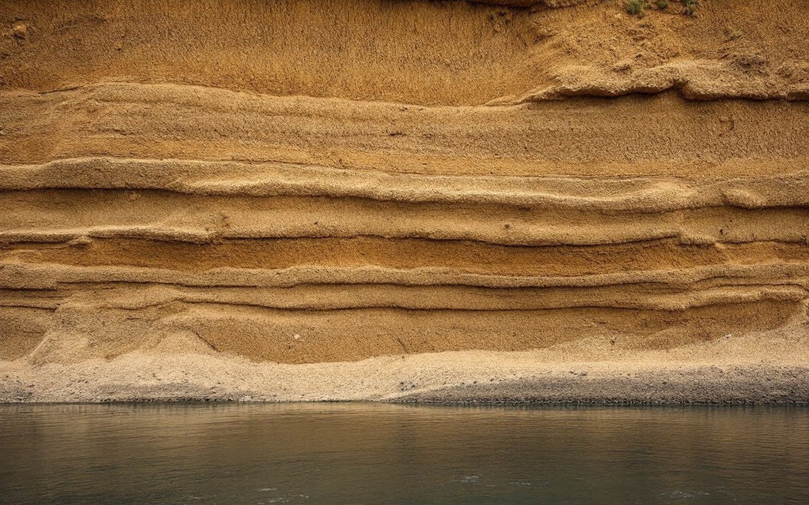
A fresh cut bank on the Arkansas typically shows four or five distinct zones stacked one above another, each recording a different moment and a different energy level in the river's past. The lowest material, at or near water level, is usually coarse: gravel, cobbles, sometimes lenses of coarse sand — the lag deposit left by high-energy flood stages when the river was carrying the largest fraction of its load. Above it the grain size fines upward through medium and fine sands, each laminated in the low-angle sheets characteristic of a migrating point bar: material the river set down during the recession of successive floods, building the inner bank outward while the channel occupied roughly the same arc.
Higher still comes the signature unit that makes Arkansas River cut banks immediately legible to anyone who knows what to look for: a pale, silty overbank deposit, sometimes showing faint horizontal lamination, sometimes nearly massive, laid down when the river spread across its floodplain at flood stage and lost velocity so abruptly that it could carry nothing coarser than fine silt and clay. The Arkansas Geological Survey documents these alluvial sequences throughout the river valley; the alternation of channel sands below and overbank silts above is the textbook signature of a meandering river building its own floodplain upward, one flood at a time.
At the very top of most cut banks, capping the flood silts, is soil — a dark organic horizon that tells you the surface was stable long enough for vegetation and biological activity to work on it. This is the ground people farm and build on in the bottomlands, and its thinness or thickness is a rough measure of how long that particular surface has been undisturbed. Where a channel cut through a natural levee — the low ridge of coarser sand the river builds along its own margins during flood — the cut bank will show that ridge in cross section too, a wedge of sand grading outward into finer overbank material, the river's own attempt to confine itself.
What gets complicated
The sequence is rarely as clean as a textbook diagram. The Arkansas above Fort Smith drains a watershed that reaches into the Rockies, and its flood regime is not uniform year to year. A particularly violent event — a cloudburst over the Ouachitas, a rapid snowmelt on the upper plains — can rework a cut bank face overnight, stripping metres of accumulated silt and exposing older material beneath. These erosional unconformities, surfaces where an unknown amount of time is simply missing from the record, show up as sharp irregular contacts between layers that do not match in grain size or colour the way a gradual transition would.
The Poteau River, joining the Arkansas at the confluence in Fort Smith, adds its own signal. The Poteau drains the Sans Bois Mountains and the eastern margin of the Ouachita coalfield, and in flood it carries a detectable load of fine coal-stained sediment alongside the usual silts. In cut banks near the confluence, occasional thin dark laminae mark episodes when the Poteau's flood pulse reached the Arkansas before the main stem flood did, laying down a brief record of the tributary's discharge before the Arkansas' own sediment overwrote it.
Archaeology complicates things further — and enriches them. Human occupation sites that once stood on the floodplain surface are occasionally exposed in cut bank faces: hearth charcoal, fire-cracked rock, ceramic sherds, worked flint, all suspended in the overbank silt at whatever level corresponds to the ground surface at the time of occupation. These exposures are documented in the broader alluvial archaeology of the Arkansas basin, and they are unstable: a cut bank actively undercut by the current may expose a site and destroy it within the same flood season.