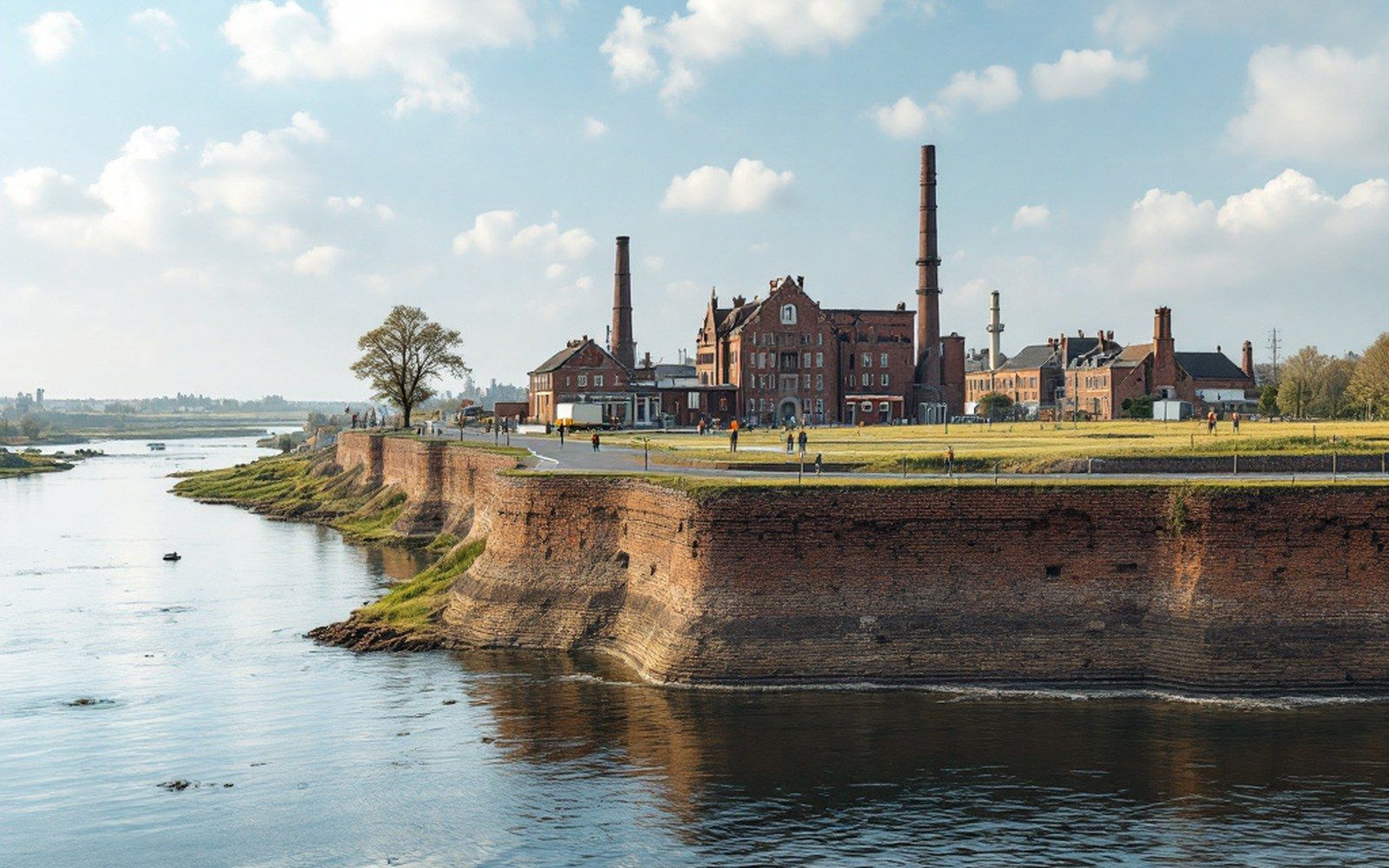
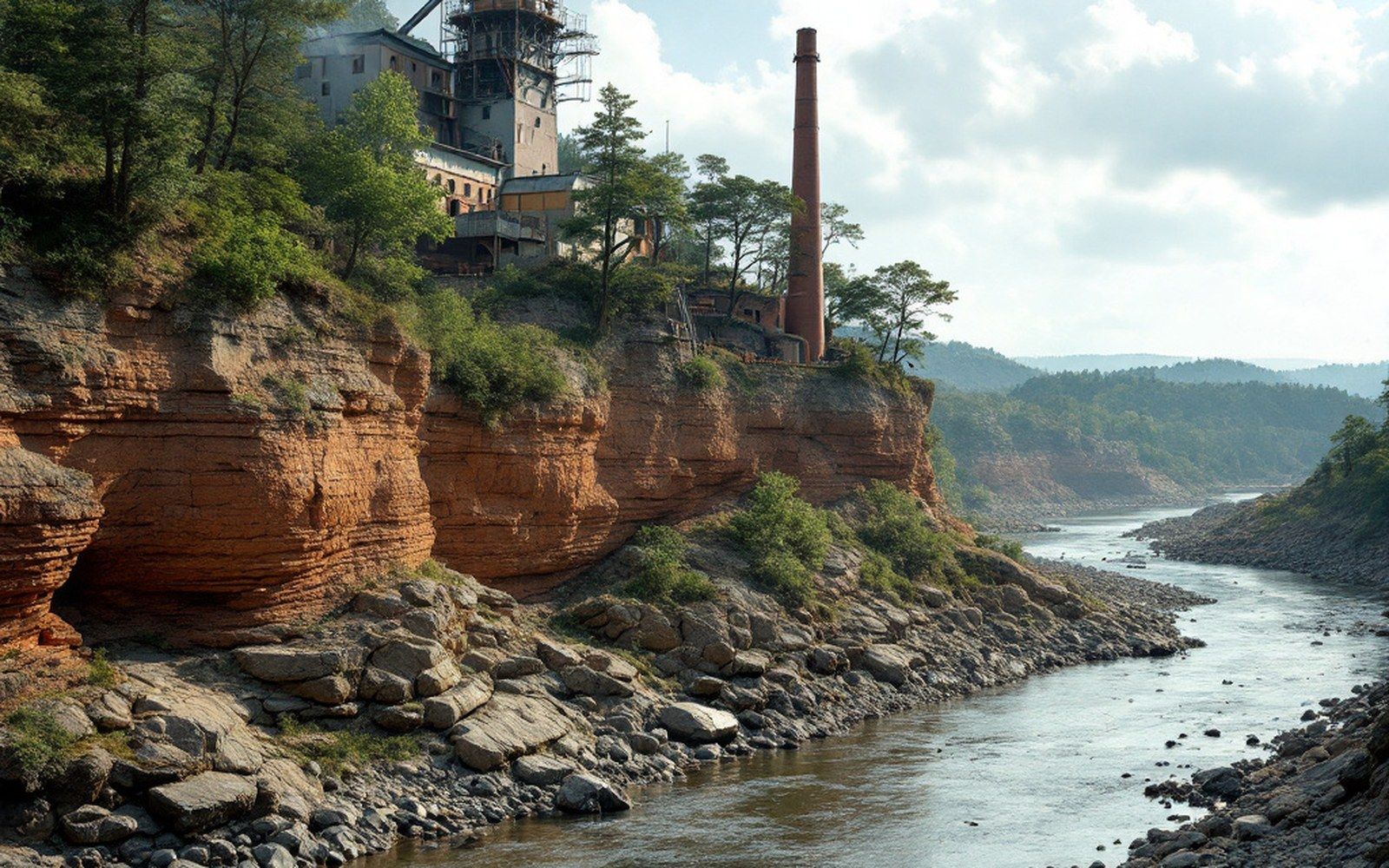
The flat steps above the floodplain are former river levels, abandoned in sequence as the Arkansas cut deeper — and they are the only ground here that is both level and reliably dry.
The flat steps above the floodplain are former river levels, and they are the only ground here that is both level and reliably dry.Photograph · Sebastian County Online
The river's own archive, written in gravel
Stand at the edge of almost any town along the Arkansas River valley between Fort Smith and the coalfield and you will notice something that maps alone do not make obvious: the town stops at a precise edge, and below that edge the land drops away to fields or bottomland that flood regularly, while behind the town the ground rises toward the Ouachita ridges in a long, rougher climb. The flat shelf the town actually occupies is neither the floodplain nor the upland. It is a terrace — a former river level, now stranded above the water that made it.
Terraces form because rivers do two things across geologic time: they cut downward into bedrock and older sediment, and they occasionally pause long enough at a given level to spread a broad, flat apron of gravel and sand across their valley floor. When conditions change — the climate shifts, the watershed delivers more runoff, or regional uplift tilts the land — the river resumes cutting, abandons its old floor, and leaves that former floodplain hanging on the valley wall as a step. The Arkansas and its tributaries, including the Poteau River, have done this repeatedly over hundreds of thousands of years, carving the Arkoma Basin's soft sediments and leaving a staircase of levels that grows progressively older the higher it sits.
The gravel that makes up these terrace bodies is itself informative. The Arkansas Geological Survey documents distinct terrace deposits throughout the valley, distinguishable by their elevation above the modern channel, the degree to which their gravels have weathered and oxidized, and the clay content of their upper soils. Younger, lower terraces still carry relatively fresh gravels; older, higher ones have been chemically worked over for long enough that the pebbles are soft and the surface soil is deeply reddened. You can, in a rough sense, read the river's biography by walking uphill.
The riverbed is itself a resource, dredged and sold, which is a quieter industry than coal but a longer one. See Sand and gravel.Photograph · Sebastian County Online
Flat, dry, and already leveled
The practical consequence for human settlement is straightforward. The floodplain proper — the bottomland between the channel and the terrace face — is fertile but episodically inundated. Before the lock and dam system and the levee works managed by the U.S. Army Corps of Engineers were in place, that ground flooded freely and often. It was farmed, but not reliably built upon. The upland above the terraces is dry, but it is not flat: the Ouachita structure gives it a corrugated, ridge-and-hollow texture that makes road-building expensive and level construction lots scarce.
The terraces, by contrast, are already flat — the river graded them — and they sit just high enough to escape ordinary flood stages. They drain reasonably well because they are built on gravel rather than the impermeable clays of the bottomland. They were, in short, the only ground in the valley that settlers, surveyors and railway engineers could use without either draining a swamp or cutting a hillside. The towns followed accordingly.
Fort Smith itself occupies the terrace at Belle Point, where the Arkansas and the Poteau meet. The bluff edge there is a terrace scarp — the exposed face of an old river level — and it was the combination of elevation above the flood and command of both waterways that made the site militarily and commercially legible from the beginning. The original fort, established in 1817, was placed precisely on that ground because there was no better ground available within sight of the confluence.
The coal towns of the western Sebastian County valley — Hartford, Huntington, Jenny Lind, Mansfield — sit on terrace remnants of their own, smaller and more dissected than the broad shelf at Fort Smith but recognizable by the same logic. Where the valley narrows toward the coalfield and the ridges press closer to the river, the terraces narrow with it, and the towns compress accordingly. Barling and Lavaca, occupying the broader valley section between Fort Smith and the ridge country to the west, have more terrace area to work with, and their street grids spread more easily across it.
Why some terraces are missing, and what took their place
Not every section of the valley preserves a full terrace staircase. The river has been reworking its valley for a long time, and where a bend migrated laterally it may have consumed an older terrace entirely, leaving a cut bank or a section of floodplain in its place. The channel has never been static: it swings across its own floodplain, undercutting terrace scarps on the outside of bends and depositing new material on the inside. Some of what looks like terrace on a quick glance is actually a high alluvial bar, built in the last few centuries rather than the last few hundred thousand years, and it carries none of the elevation security that a true terrace does.
The distinction mattered more before the levee system. Communities that settled on apparent high ground in the bottomland discovered during major floods — the Arkansas has always been capable of spectacular rises — that their platform was not what they thought it was. The historical flood record for the Arkansas River at Fort Smith documents the range of flood stages the valley has experienced, and the pattern is clear: the towns that survived most comfortably on their original footprints were the ones sitting on true terrace, not on bars or low bottomland.
Gravel underfoot, ridge behind, river below
There is an almost satisfying tidiness to the landscape logic here. The ridges above are sandstone and shale, folded into the east–west grain that defines the entire Ouachita structural province. The bottomland below is recent overbank mud, seasonally rearranged. And in between, occupying the precise elevation band where the river once ran and no longer does, sit the towns — on gravel that the Arkansas itself transported, sorted and deposited when it was flowing at that level, perhaps during a wetter period when the mountains above were shedding more sediment than they do today.
The towns did not choose the terraces in any deliberate geological sense. They chose flat ground above the water, and the terraces were what flat ground looked like here. But the river made those terraces across a span of time that dwarfs every other feature of the local story — longer than the coal seams took to form, longer by far than the court at Fort Smith sat open — and the towns are still sitting on them.
The bluff at the confluence where the first fort was placed, which is the origin of everything after it. See Belle Point.Photograph · Sebastian County Online
A river of this size moves sideways across its own floodplain, abandoning bends and cutting new ones, and the old channels are still legible in the fields. See The channel that will not stay put.Photograph · Sebastian County Online