A river that rewrites its own map
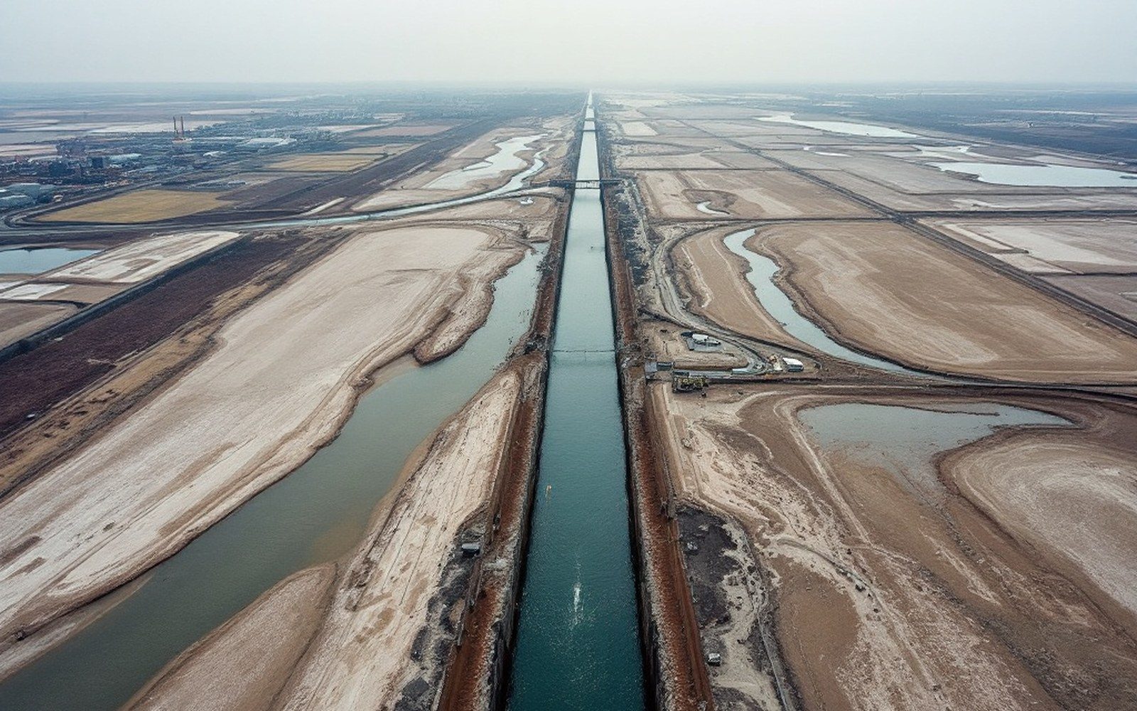
The Arkansas arrives at Fort Smith not as a fixed line but as a negotiation — between the water's energy and the material it flows across, between floods and droughts, between the silt it carries and the silt it drops. Watch it long enough and the river is less a feature of the landscape than a process operating on it, one that has been repositioning itself across the valley floor since the last glacial outwash filled this lowland with sand and gravel.
The floodplain it moves across is, in geologic terms, its own previous work. Every bar, every terrace riser, every shallow pond sitting in a field half a mile from the present bank is something the Arkansas made and then abandoned. The channel is the most recent version of a pattern that goes back thousands of years, and it is not finished revising.
The mechanism is not complicated, though its consequences accumulate slowly enough that most people living beside the river never see the whole arc of it. Water moving around a bend travels faster on the outside of the curve than the inside. The faster water on the outer bank cuts into the bank, eroding it; the slower water on the inner bank drops its sediment load, building a point bar. The bend tightens. The neck of land enclosed by the tightening loop grows narrower season by season. Eventually, during a flood, the river finds it more efficient to cut straight across that neck and abandon the loop entirely. The old bend is sealed at both ends by the deposition the flood leaves behind, and what remains is an oxbow lake — a closed crescent of still water, slowly silting up, becoming a wetland, then a seasonally wet field, then, given enough decades, ordinary ground that a farmer might not recognise as river at all.
What the old channels leave behind
The Arkansas valley between Fort Smith and the Oklahoma line holds dozens of these former channels in various stages of erasure. Some are still open water — elongated ponds that do not drain because their beds lie at or below the water table. Others show up in aerial imagery as bands of slightly darker soil where organic-rich sediment settled in the deepest part of an old channel and now holds more moisture than the surrounding sandy loam. Others still are visible only as subtle depressions across a ploughed field, or as the lines that field boundaries and old roads follow without obvious reason — a surveyor in 1900 ran the fence line along a former bank because the ground told him to, and the fence is still there though the bank is gone.
The Arkansas Geological Survey maintains records of the river's documented channel positions, and even the partial historical record shows substantial lateral movement over the periods for which maps exist. The shift is not uniform: the river moves faster across formations of fine sand and silt, more slowly where it encounters gravel or where resistant clay layers underlie the channel floor. The Barling and Lavaca reaches south of the main Fort Smith urban area show pronounced meander development, as does the lowland around the mouth of the Poteau River where the Poteau confluence adds its own flow and sediment to an already active system.
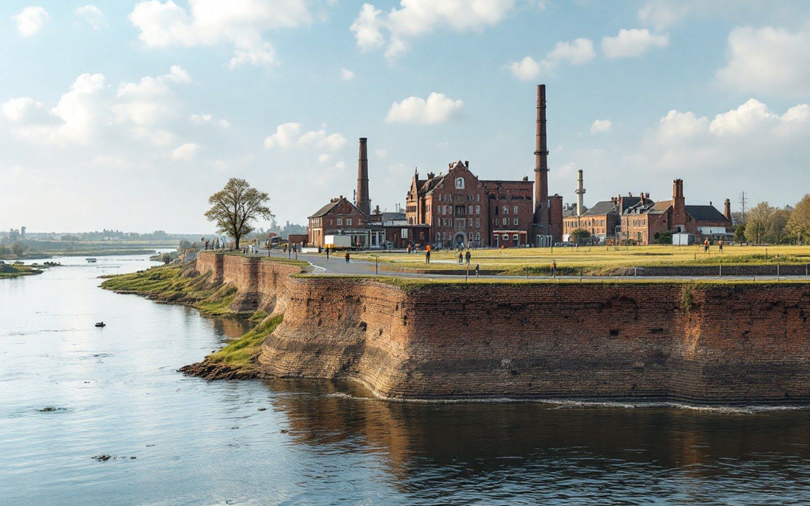
What the old channels also leave behind is complexity that resists simple management. A levee built to protect a particular reach of bank calculates the river's future position based on its present one, but the river is under no obligation to stay where it stood when the levee was designed. The United States Army Corps of Engineers has maintained bank stabilisation and channel works on the Arkansas since navigation improvement began in the early twentieth century, and the lock and dam system that makes the river commercially navigable has altered the hydrograph — the shape of floods and low flows over time — in ways that change how and where the channel moves. Stabilised pools between dams tend to reduce lateral migration within their reach; the energy that once went into cutting new bends is partly absorbed by the managed gradient. But the river does not stop working. It moves what sediment the system allows it to move, and it still finds opportunities, particularly in the unstructured reaches and during the largest floods, to do what it has always done.