The riverbed as quarry
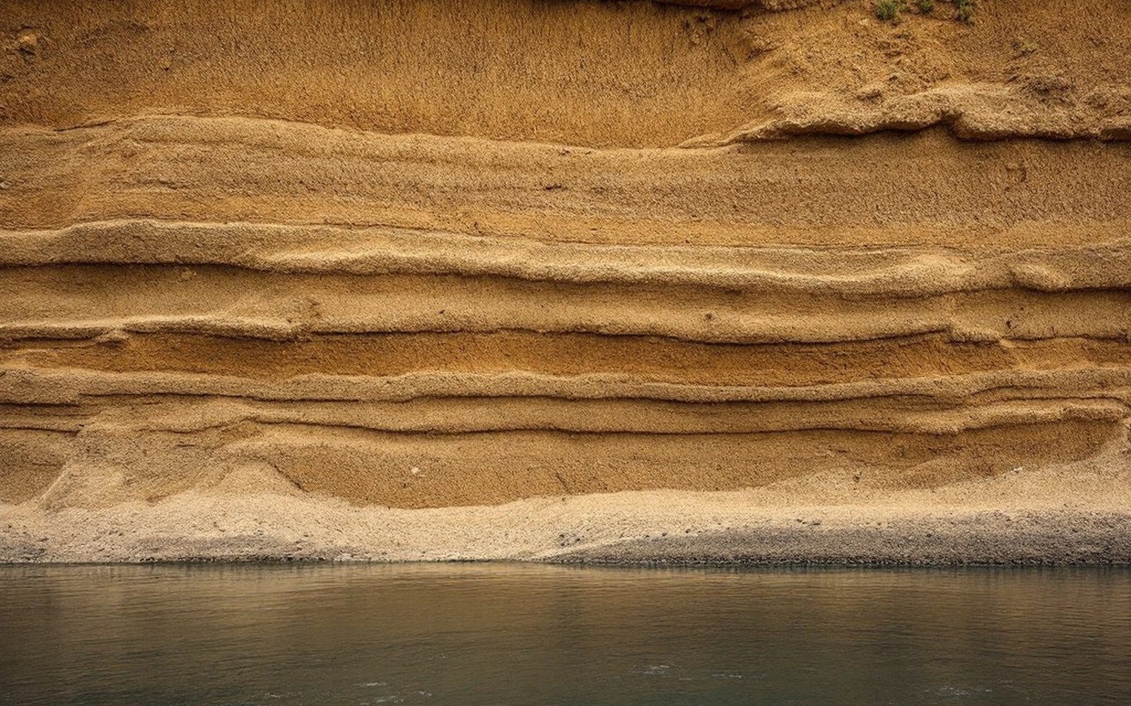
The Arkansas River carries more than water. Centuries of erosion from the Ouachita highlands and the Ozark plateau feed a moving body of sediment — sand, gravel and finer silts — that settles wherever the current slackens. At Fort Smith, where the Poteau River joins from the south, the load doubles and the channel widens, depositing bars and shoals that shift with every flood season. That material is, and has been for well over a century, a commercial raw material.
River-dredged sand and gravel are aggregate — the bulk filler in concrete, road base, and drainage fill. The Arkansas valley deposit is well-sorted by the river itself: current separates fine sand from coarser gravel more efficiently than most mechanical screening plants can manage, which is why alluvial aggregate has always competed on quality as well as proximity to markets. A ready-mix concrete plant needs aggregate by the hundreds of tons; paying rail freight from a distant quarry adds cost that a nearby riverbed operation undercuts easily.
Dredging the Arkansas is regulated under federal authority. The U.S. Army Corps of Engineers holds permitting authority over in-channel work, balancing extraction against navigation clearance, bank stability and the integrity of the lock-and-dam system that made the river commercially navigable in the twentieth century. Permitted dredging typically works bar deposits and shallow off-channel areas rather than the maintained navigation channel itself, and operators are required to demonstrate that extraction will not migrate the thalweg — the line of deepest flow — toward protected banks or infrastructure.

The industry is quieter than coal ever was. There are no headframes on the skyline, no company towns platted around a shaft. A dredge barge, a conveyor, a washing and sorting plant on the bank — that is the visible plant, and it moves when the productive bar moves. The absence of fixed infrastructure is part of why the trade leaves so little trace in local memory even though it has been continuous through periods when every coalmine in the Sebastian County field had already closed.
Demand follows construction cycles. The post-war highway build-out, suburban expansion around Fort Smith in the 1960s and 1970s, and successive flood-control and levee projects run by the Corps — each drove a period of elevated extraction. The river, meanwhile, keeps delivering new material from upstream. Unlike a coal seam, the riverbed aggregate resource is, on any human timescale, self-replenishing. The Arkansas does the mining; the industry merely intercepts it.