Laid Out to Work
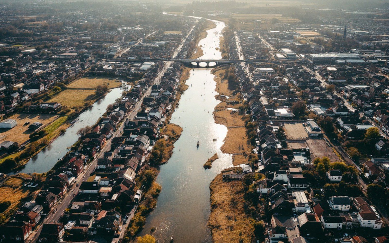
Mansfield sits at the southeastern edge of Sebastian County, Arkansas, where the Boston Mountains flatten enough to run a rail line and sink a shaft. The Frisco reached it in the 1880s, and the coal operators who followed platted a town with a specific logic: company store near the tipple, company housing in ranked rows behind it, the main street oriented not to a courthouse square but to the mine's own axis. That plan — practical, unsentimental — is still readable from the air. The grid is real, but it answers to a seam rather than to civic convention.
What grew around that grid was nevertheless a genuine community. Mansfield incorporated, built churches and schools, and by the early twentieth century was one of the larger working towns in the Sebastian County coalfield. Its semi-anthracite seams burned clean enough to command a premium, which meant the mines here stayed active longer than some of their neighbors. The population tracked the mines closely: it rose with production, contracted when the seams thinned or the market softened, and contracted again after midcentury when fuel oil displaced coal in the furnaces that had once been the main customers.
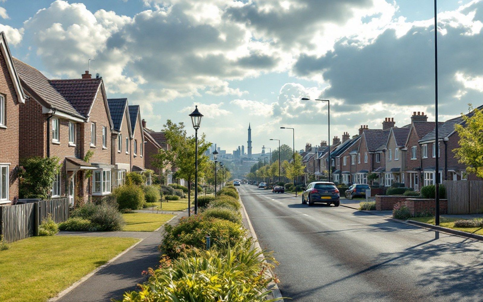
Midland, a few miles to the northeast, is the sharper lesson. It was a company town in the strictest sense — platted by the operators, built to house their workforce, and never incorporated as a separate municipality in its own right. The street pattern was functional from the start: parallel rows of housing lots oriented to the workings, with no commercial ambition beyond what the company chose to supply. When the mines closed, the reason to maintain that infrastructure evaporated quickly. Midland is now a small unincorporated community whose surviving streetscape still shows the original spacing — houses on lots that were sized for miners' families, not for the larger plots a later suburb would have assumed.
Arkansas Geological Survey records document the seam structure beneath both communities: the Upper Hartshorne and Lower Hartshorne coals, the same measures worked across the Boston Mountain flanks from Hartford west. The geology set the limits; the railway determined which limits got worked first. When the Frisco line gave operators a reliable connection to Kansas City and St. Louis, Mansfield and Midland became worth the capital investment a deep shaft required. When that connection no longer justified the cost of underground extraction against strip-mined coal from elsewhere, the economics reversed faster than either town could absorb.
What remains is legible history: the street pattern as the company drew it, the lot sizes as the company needed them, and a landscape that still explains, if you know how to read it, exactly what it was built to do.
