The railway that wired the coalfield to its markets
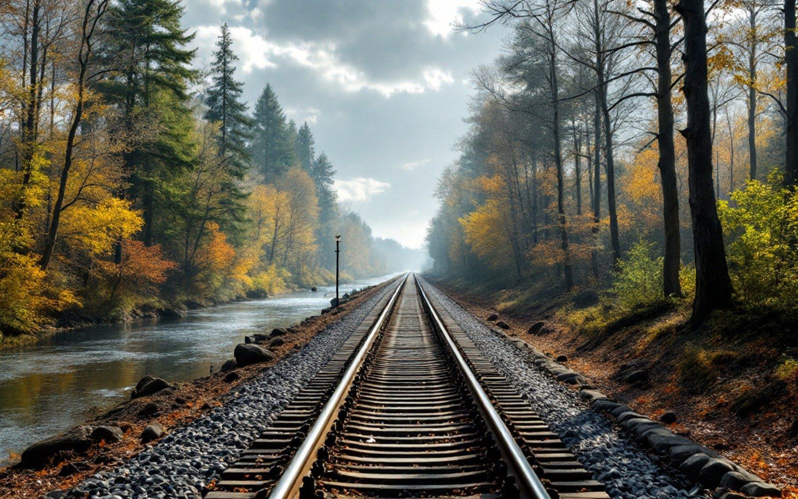
The coal beneath the hills east of Fort Smith was worth nothing until there was a way to move it. The St. Louis–San Francisco Railway — the Frisco — supplied that way, and in doing so decided which settlements became towns and which stayed clearings.
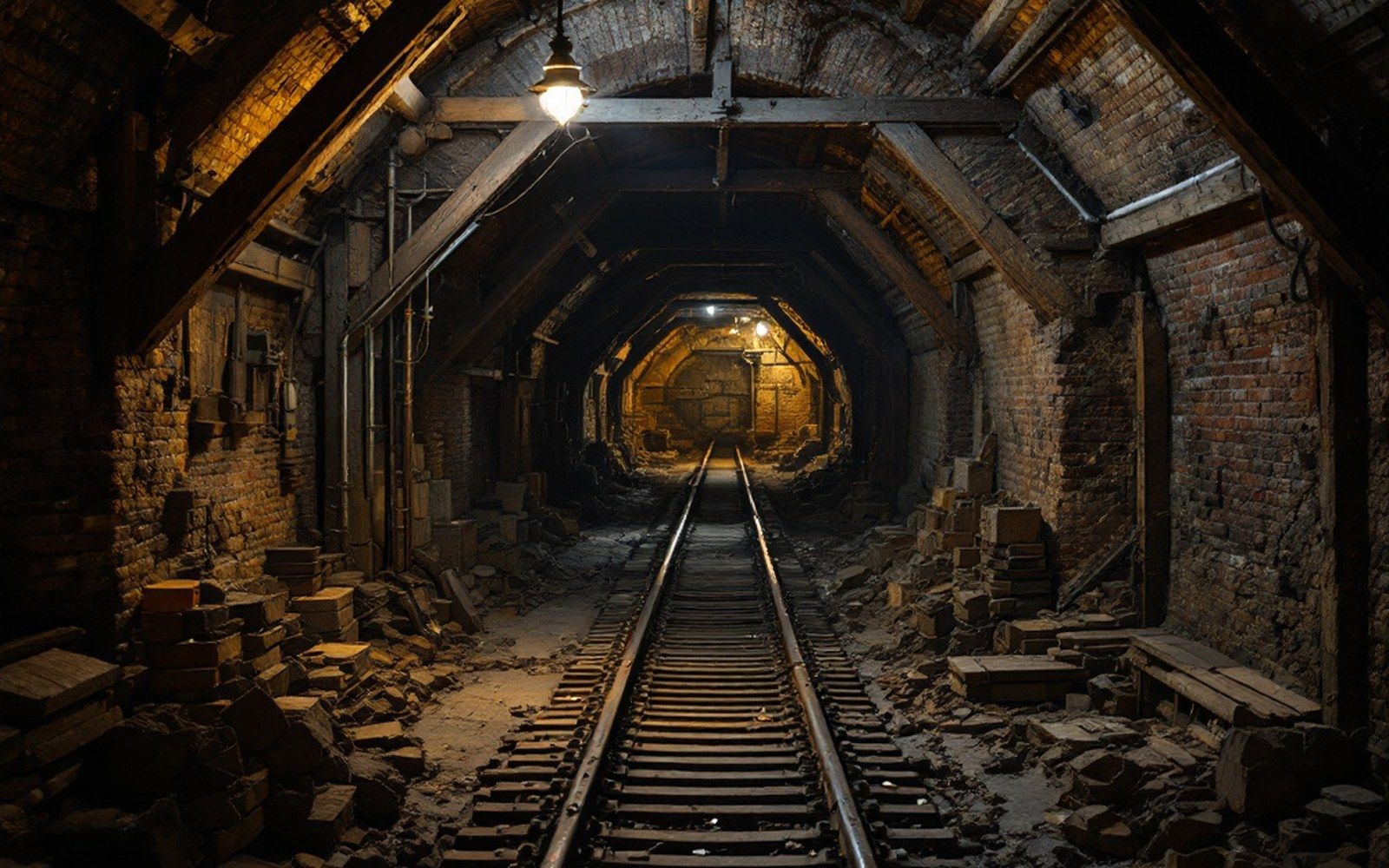
The Frisco's route through Sebastian County ran roughly east–west along the valley between the Ouachita foothills and the Arkansas River bluff line. It was not the only railway to cross this ground, but it was the one that arrived early enough and ran close enough to the seams to shape the coalfield's whole geography. The semi-anthracite seams here — harder and cleaner-burning than ordinary bituminous coal, worth hauling long distances — justified the capital investment in branch track, tipples and loading facilities that a lower-grade fuel might not have.
The line connected the local field to St. Louis and, through interchange, to the broader national network. That connection mattered enormously: the coal market was not local. Sebastian County did not consume its own output in any quantity. The customers were smelters, railroads burning coal as fuel, and domestic heating markets in cities far to the north and east. Without a through route to those customers, the seams would have waited.
Towns the Frisco made
Where the main line ran, towns consolidated. Where a spur diverged toward a working mine, a company settlement appeared. The pattern is still visible on a map: Greenwood, Hartford, Huntington, Mansfield — each sits on or just off the Frisco corridor, and each grew in step with coal tonnage moving through it. Hartford and Huntington in particular owe their street grids to the railway's survey logic: the company needed flat ground for sidings, and the towns filled in around the sidings.
Smaller places — Bonanza, Jenny Lind — got spurs rather than main-line stations, which set a ceiling on how large they could grow. A spur brought coal out but carried little back; the economies that needed a proper station, a freight agent and a depot building clustered where the main line stopped, not where the branch ended. This is why the sidings and spurs that served individual mines left so little behind them when the mines shut: a spur without a mine is simply abandoned track.
Fort Smith itself functioned as the western anchor of the Frisco's local operation. The yards there handled sorting, servicing and interchange with traffic moving north along the Arkansas River corridor. The city's size relative to the coalfield towns reflects partly that role: it was where the railway concentrated its mechanical and administrative work, which meant steady employment independent of any single mine's output.