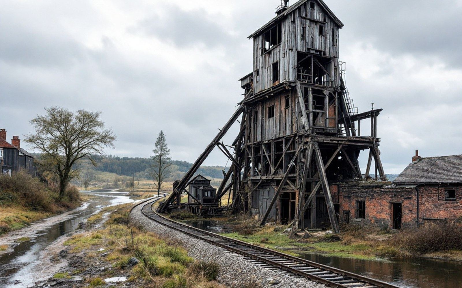
The last mile that made a mine worth anything
A coal seam without a rail connection was an academic curiosity. The Arkansas River valley's semi-anthracite fields produced coal dense enough to command premium prices in regional markets, but only if it could move — and the economics of moving it by wagon to a main line broke quickly against distance. Every working mine needed its own iron link to the network, and the map of the coalfield was, in practical terms, a map of spurs.
The Frisco line ran the spine, threading through Sebastian County's mining communities south from Fort Smith. The Kansas City Southern cut a north-south corridor through the same country. From these two trunks, short branch tracks — spurs, in railway usage, meaning a dead-end line off a main — reached out to individual tipples like capillaries. A tipple without a spur was not yet a mine; the track came first, or the mine never opened.
The pattern was consistent across the field. A lease was granted, a company incorporated, a headframe erected — and almost simultaneously, a negotiation with the operating railroad for siding rights and the grading of a short connection. The railroads did not always own these spurs outright; some were company-built and handed to the carrier under trackage agreements, some were owned by the mining company itself and maintained by their own section crews. What they shared was geometry: they ran from the main line to the point directly beneath the tipple, where loaded cars could be spotted and empties returned. A quarter-mile, half-mile, occasionally a mile — seldom more, because the grade had to work and the coal had to reach the car by gravity wherever the terrain permitted.
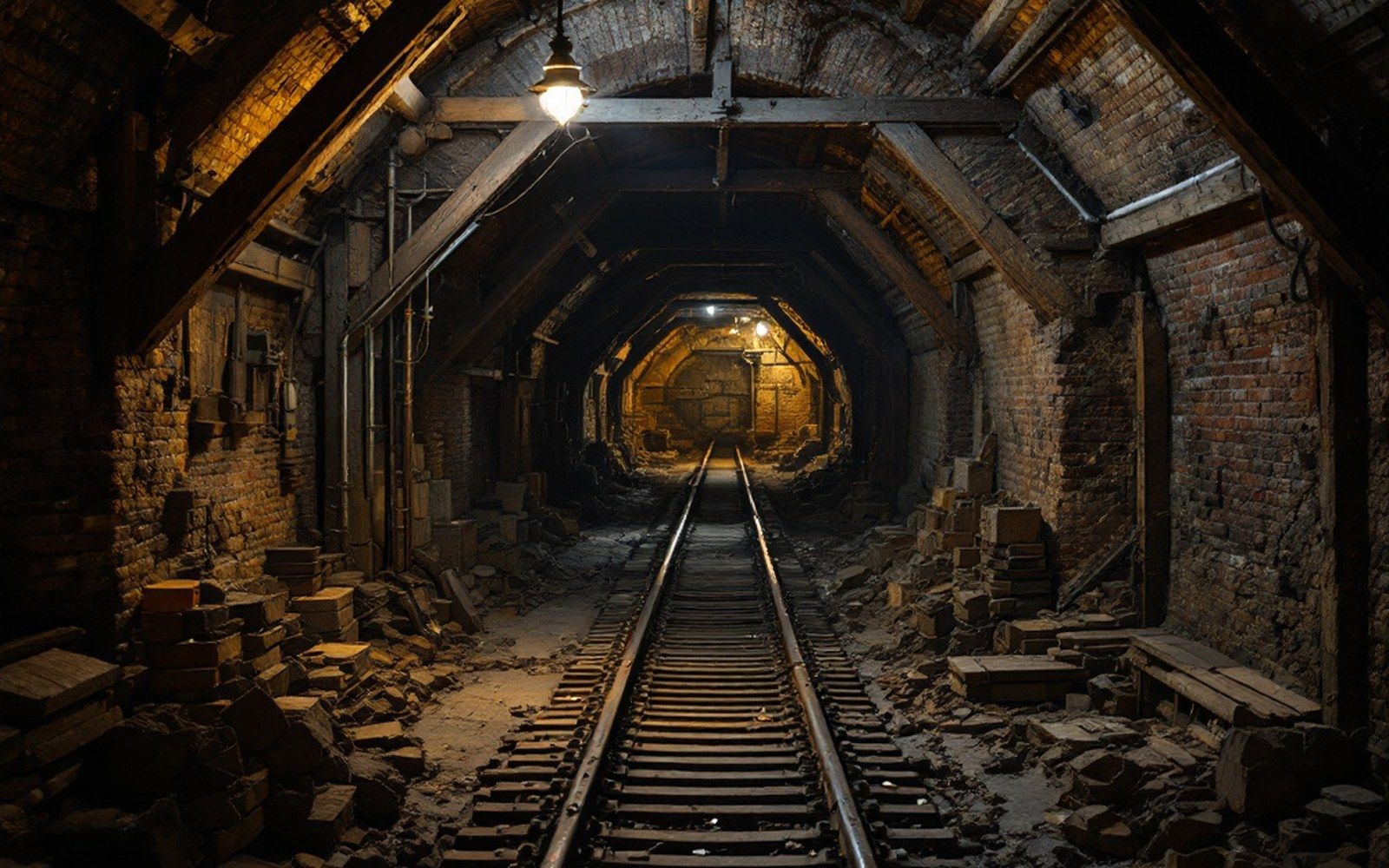
Hartford and Huntington between them once had several such connections, the tracks braiding across the valley floor in arrangements that no longer make sense unless you know what stood where. Bonanza and Jenny Lind had their own, shorter, feeds. The spur serving a major working might be busy enough to justify a passing siding on the main line nearby — a pull-off where a loaded cut of cars could wait while a through freight cleared — and those sidings persist in the infrastructure record even after the traffic that justified them is gone.
What closed the mines — fuel oil, gas, cheaper coal from strip operations elsewhere — closed the spurs first. Track was light, often sixty-pound or lighter rail, and it was pulled and resold almost before the last car rolled. The grades remain in the topography, sometimes a faint shelf across a slope, sometimes a concrete headwall where a culvert carried a creek under the roadbed. The Arkansas Geological Survey has documented enough mine locations to let a careful reader overlay the working list against the remaining ground features and read, in the land itself, where each connection once ran.