A trough that collected what the mountains shed
The ground underfoot in the Arkansas River valley looks like river country — bottomland, terrace, ridge — and it is. But the real structure runs far deeper, and it is not a river feature at all. Beneath the valley floor, beneath the coal towns of Hartford and Huntington and the spoil heaps along the Poteau drainage, lies the Arkoma Basin: a sedimentary trough that formed during the same Pennsylvanian-age continental collision that crumpled the Ouachitas into their east–west ridges. The basin and the mountains are products of the same event, two parts of one answer to the same tectonic question.
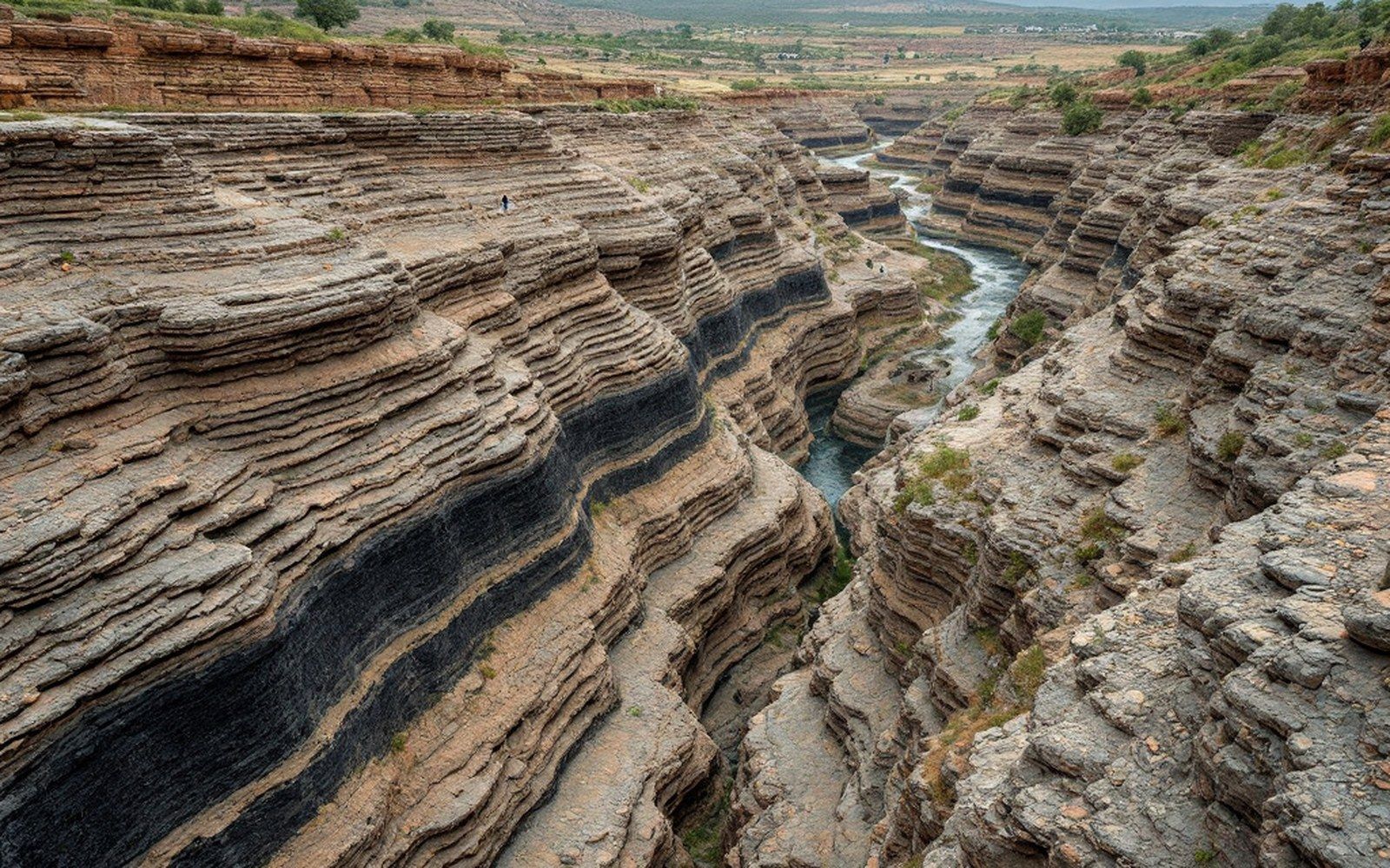
When the ancient continent of Gondwana drove northward into Laurussia, roughly three hundred million years ago, the crust ahead of the collision buckled downward. The Ouachitas rose as a fold-and-thrust belt; the Arkoma Basin formed immediately to the north as a foreland basin — a long, asymmetric trough subsiding under the weight of the growing mountain mass. Think of a loaded raft pressing one end of a plank: the other end rises, but the middle sinks. Here, the mountains rose to the south, the Ozark platform stayed relatively stable to the north, and between them the Arkoma Basin sank and continued sinking, century by geologic century, filling with the sediment the highlands shed. The continental collision that produced this geometry is the single cause behind almost every feature of consequence in this landscape.
Burial, heat, and the rank of the coal
What went into the basin as swamp forest and river delta came out — eventually — as coal. The organic material accumulated in coastal and deltaic environments during the Pennsylvanian, a period when equatorial swamps were burying carbon across much of what is now eastern North America. In a shallower, less-deformed basin, that material might have become bituminous coal and stayed there. In the Arkoma Basin, it did not.
The basin's southern margin was caught in the thrust faulting associated with the Ouachita orogeny — the mountain-building episode — and sediments were buried deeply and then compressed further as thrust sheets piled on from the south. Deep burial means high temperature: the geothermal gradient does steady work, and rocks pushed far enough down get hot enough to drive out volatile compounds progressively. Bituminous coal loses moisture and volatiles as it heats; if conditions push it further, it crosses into the semi-anthracite range, then into true anthracite. The coals in the Arkoma Basin were buried deeply enough and heated long enough to reach semi-anthracite rank — volatile-matter content typically running between eight and fourteen percent by weight, fixed carbon correspondingly high, and the resulting seam material harder, denser, and cleaner-burning than the bituminous coals of the Illinois Basin or the Appalachian plateau mines to the east.
The Arkansas Geological Survey has documented the distribution of coal rank across the basin, and the pattern is telling: rank increases toward the south, toward the old thrust front, where burial was deepest and deformation most intense. The seams around Hartford and Huntington — the heart of the Sebastian County coalfield — sit in that higher-rank zone. Miners working those seams in the late nineteenth and early twentieth centuries were extracting coal that had been driven almost to anthracite by forces utterly indifferent to them.
Shape of the basin and what it means for the seams
The Arkoma Basin is not a simple bowl. It is elongated along an east–west axis — consistent with the east–west grain of the Ouachita ranges that border it to the south — and it is strongly asymmetric. The southern flank drops steeply, controlled by thrust faults; the northern flank rises more gently toward the Ozark platform. Sediment thickness varies accordingly, with the deepest fill concentrated along the southern margin. The basin extends from central Arkansas westward into eastern Oklahoma, broadening somewhat as it goes; the Sebastian County coalfield sits near its eastern end, where the structural geology is somewhat less intensely deformed than it becomes further west.
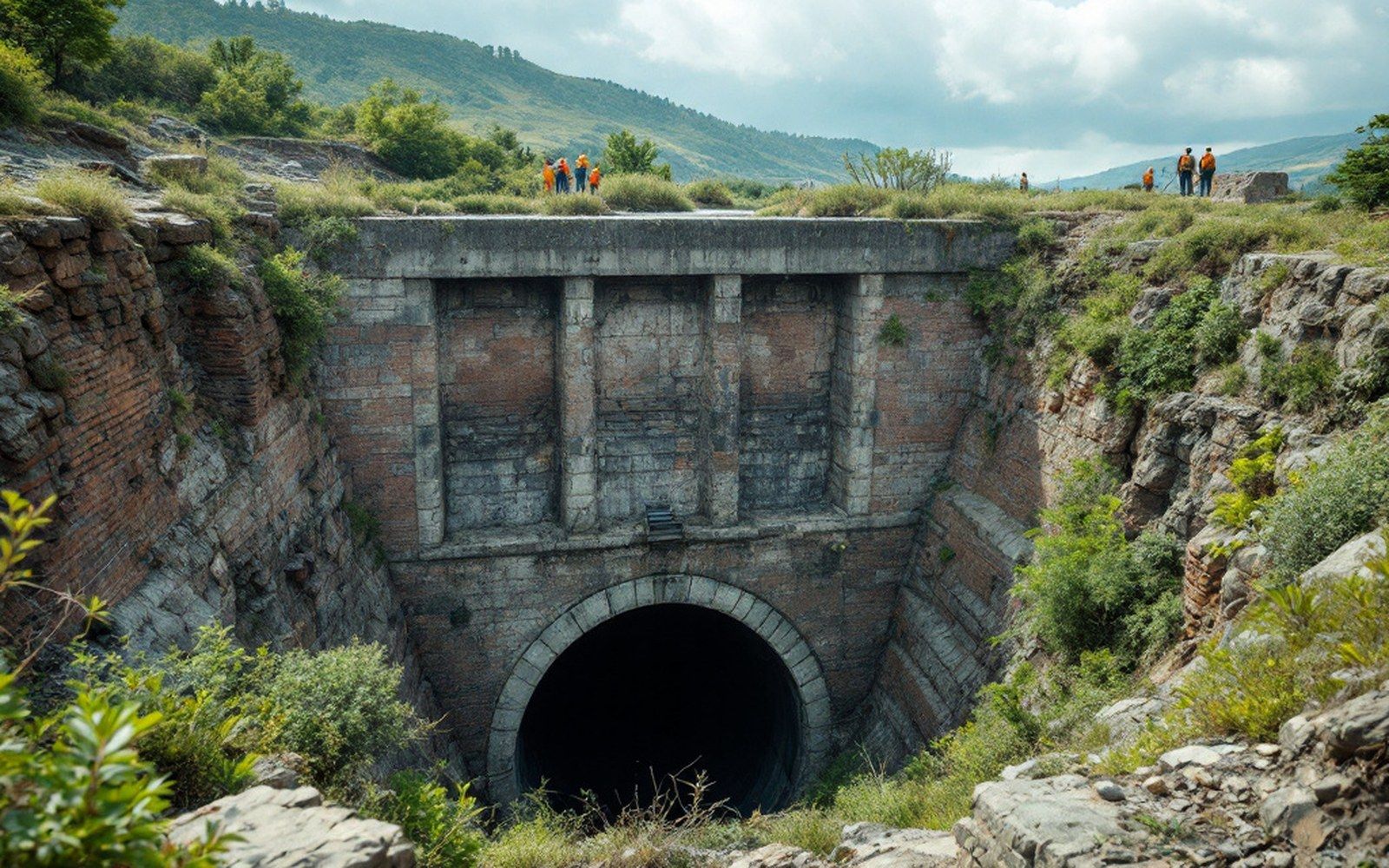
That structural complexity matters practically. The coal seams in the Arkoma Basin are not flat, uniform sheets. They dip, they roll, they are cut by faults, and they vary in thickness across short distances. A seam workable at one end of a lease might pinch to nothing a few hundred feet along strike. The entry angles for mine portals had to account for seam dip; haulage underground followed the seam, not the surface. The thin-seam conditions that made work underground so punishing in the Sebastian County mines were partly a function of depositional environment — the original swamp was not uniform — and partly a function of the post-depositional folding and faulting the basin imposed on whatever had been laid down.
Natural gas as a co-product of deep burial
The same thermal history that raised the coal to semi-anthracite also generated natural gas. Methane is a byproduct of coalification, driven off as volatiles are expelled during progressive heating. In a tightly sealed basin with adequate cap rock, that gas can be retained in the coal seams and in surrounding sandstones. The Arkoma Basin is a significant natural gas province for exactly this reason: the same burial and heating that produced high-rank coal also produced substantial gas accumulations. Oklahoma and Arkansas together hold considerable Arkoma Basin reserves, and gas production from the basin has at times exceeded coal in economic weight, though the two industries followed largely separate timelines.
For the miners, however, the gas was a hazard before it was ever an asset. Methane in the workings was the standing danger — accumulating in poorly ventilated headings, igniting from a lamp or a shot. The accident record of the Sebastian County mines reflects this repeatedly. The same geology that made the coal worth shipping to market also made the mine workings dangerous to be inside.
Reading the valley from below
The surface expression of the Arkoma Basin is easy to miss. The valley looks like what the river has done to it — the meanders, the terraces, the bluffs at Belle Point where the Arkansas meets the Poteau. Those are real features and they matter. But they are, geologically speaking, superficial: recent river work scratched across the surface of something far older and far larger. The basin beneath was assembled over tens of millions of years, filled under the weight of rising mountains, cooked at depth by ordinary geothermal heat, and finally unroofed by erosion that stripped away the overburden to expose the coal seams close enough to the surface to mine.
What the valley floor conceals, then, is not absence but depth: a filled trough carrying the compressed record of a continental collision, a burial episode, and the slow chemistry of carbon under pressure. The coal seams that gave the towns of the Sebastian County coalfield their reason to exist are not local accidents. They are the readable surface of a structure that extends across two states and goes down farther than anyone ever dug.